After enduring a day today that felt more like mid-January than mid-December, with temperatures in the teens and wind chills below zero, we have a relatively warmer but still cold day ahead tomorrow.
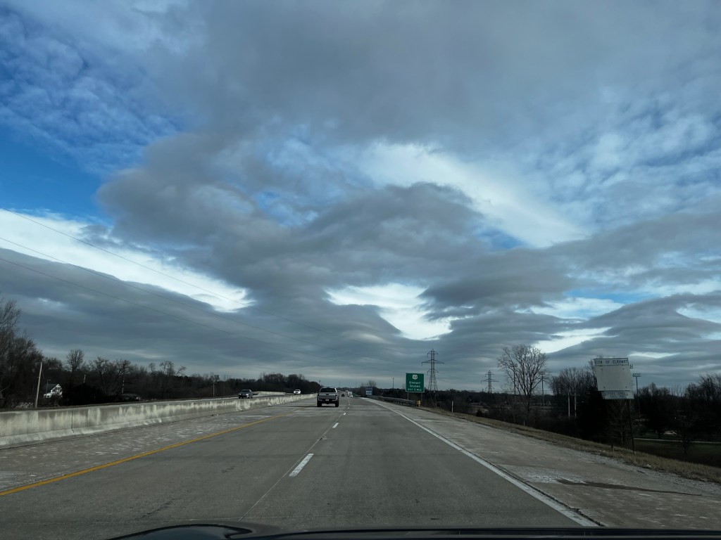
I took a personal day today to do some Christmas shopping with my wife and noticed some gravity waves on the way home. The picture doesn’t do it much justice (they rarely do), but you can learn more about them here: gravity waves.
Tomorrow, temperatures are expected to reach the mid to upper 20s, and some sun is expected, especially in the first half of the day. Clouds return late and stick with us for most of the weekend. Temps on Saturday should reach the upper 30s, mid 40s Sunday, and we’ll be back near 50° on Monday. Showers are expected overnight Saturday into Sunday morning, and drizzle may linger into Sunday afternoon—more rain on Monday.
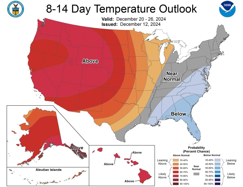
We’ll have to keep an eye on temperatures for the rest of next week as we’ll be a few degrees on either side of freezing with a few minor systems that could get a little messy. Nothing too significant expected at this time. Beyond next week, things look seasonable and relatively dry.
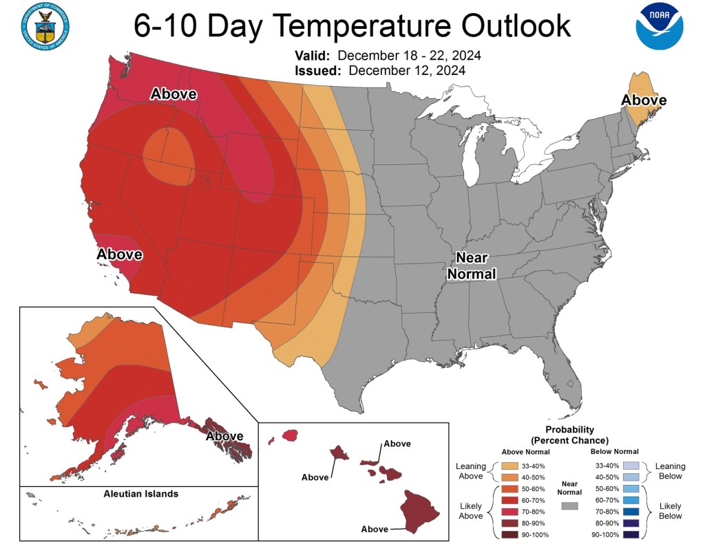
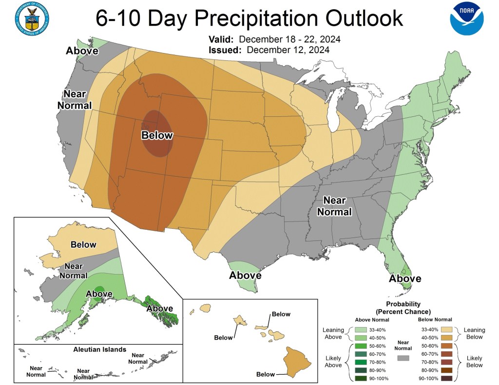
As we head into Christmas week, temperatures look seasonable, and the weather looks increasingly dry. Regardless, I’m still holding out hope for a white Christmas. But it looks like we’ll need some lake-effect snow and good timing for that.
Enjoy the (relatively) warm weekend!
-pw

Leave a comment