I mentioned recently that we have a good chance of seeing our first 60°F day next week—which still appears to be the case. However, we will have a few blustery, raw days to get through.
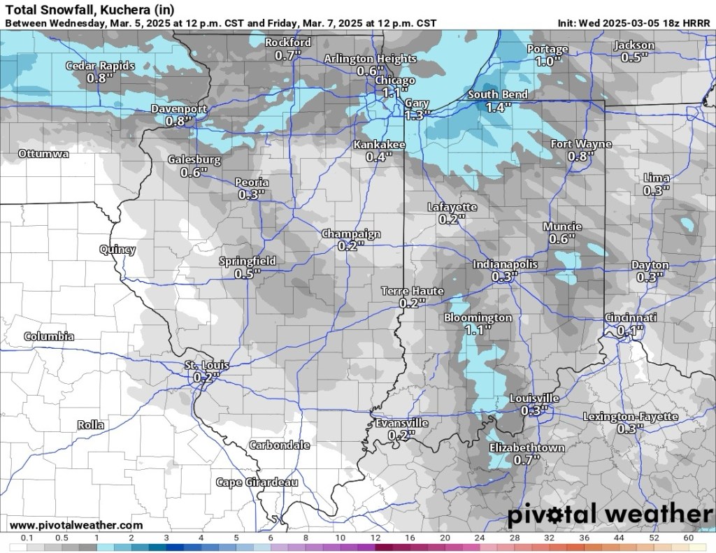
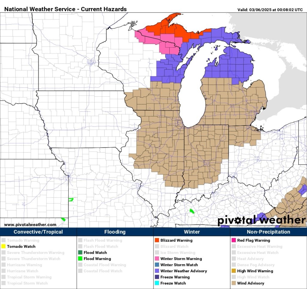
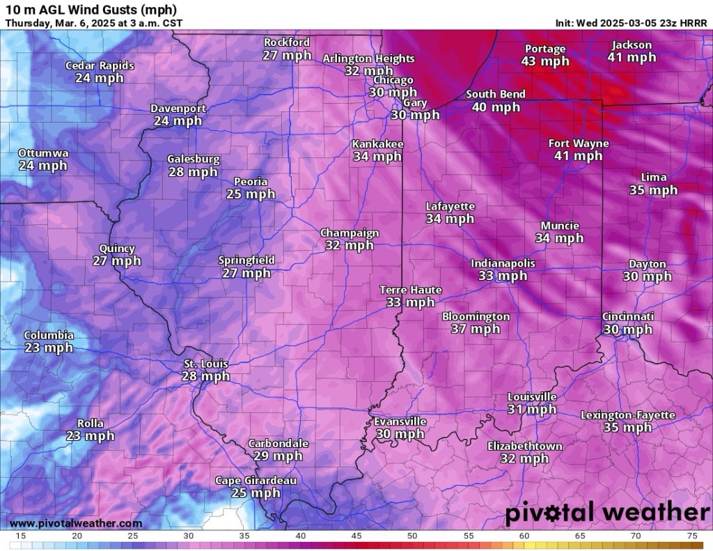
Temps will fall into the 20s tonight, and despite some sun tomorrow, we will be lucky to make it to 40°F. It will be a little cooler, with some snow eventually mixing with rain on Friday. It will be very windy through tomorrow night.
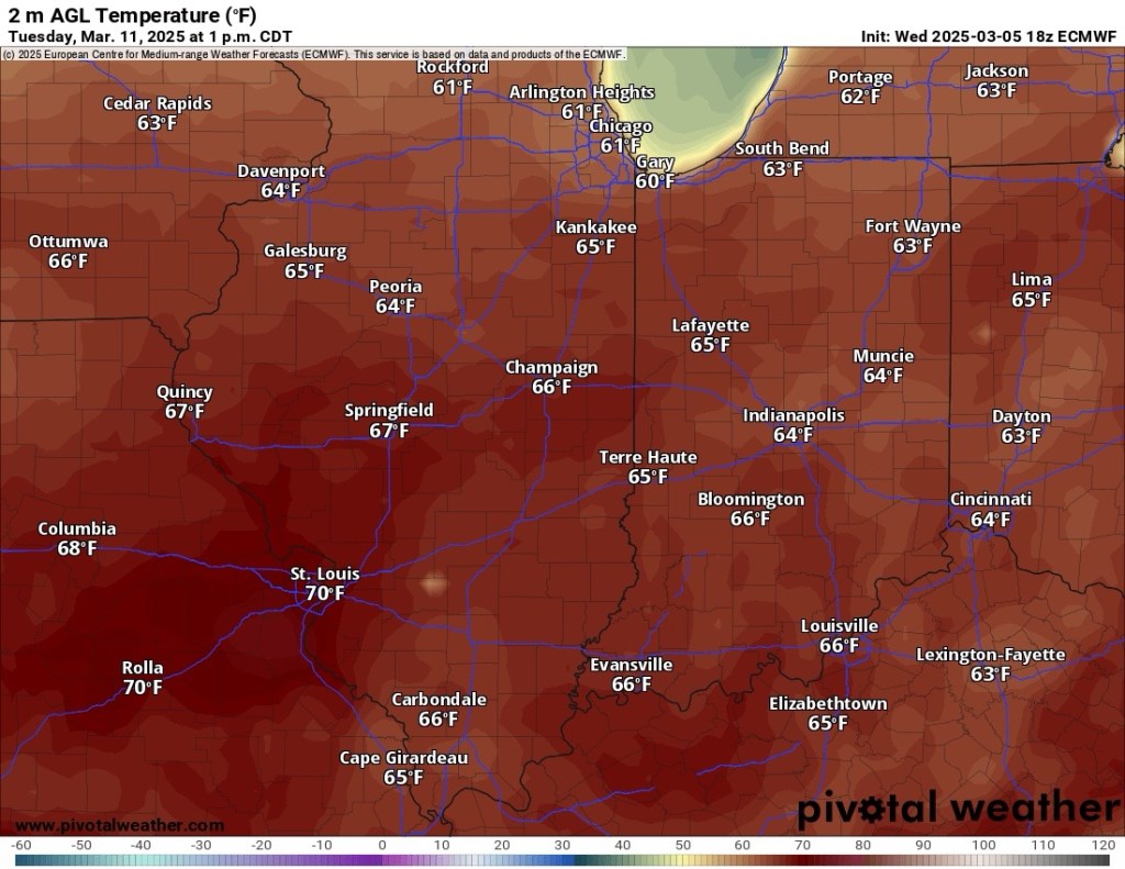
Things start to change by Saturday. An extended dry, sunny, and increasingly mild period is expected to start this weekend and last through much of next week. Temperatures will reach the mid to upper 40s by Sunday, the mid to upper 50s by Monday, and we should easily break 60°F on Tuesday and Wednesday.
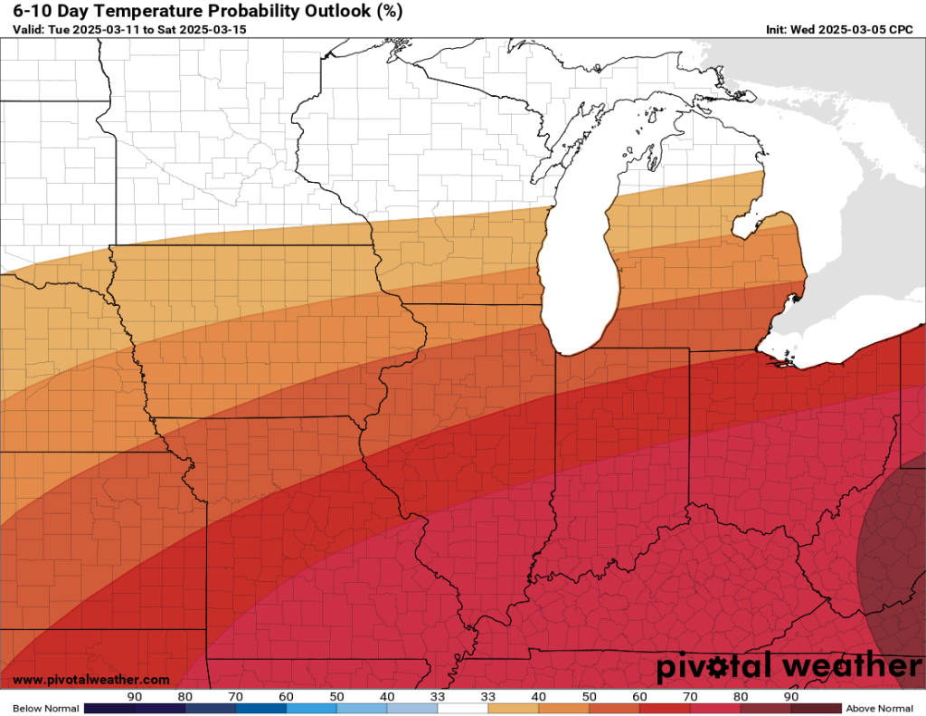
Unfortunately, I do not expect the warm air to stay around. In fact, our old pal, the polar vortex, could still cause some havoc. The setup from earlier this winter that sent us below zero may be developing again and may even become stronger this time. That doesn’t mean we are going subzero again heading into late March and early April—far from it. It does mean we are probably not done with winter, though.
This process is just showing signs of developing, and models will take some time to catch up. There isn’t any significant cold showing up just yet (in fact, everything shows above normal through March and into April), but I have a sneaking suspicion that it will change over the next week or so. In the meantime, we need to get through the next two or three days of wind, cold, rain, snow, and some sun before we can enjoy the true spring preview on its way late this weekend and next week.
–pw

Leave a comment