
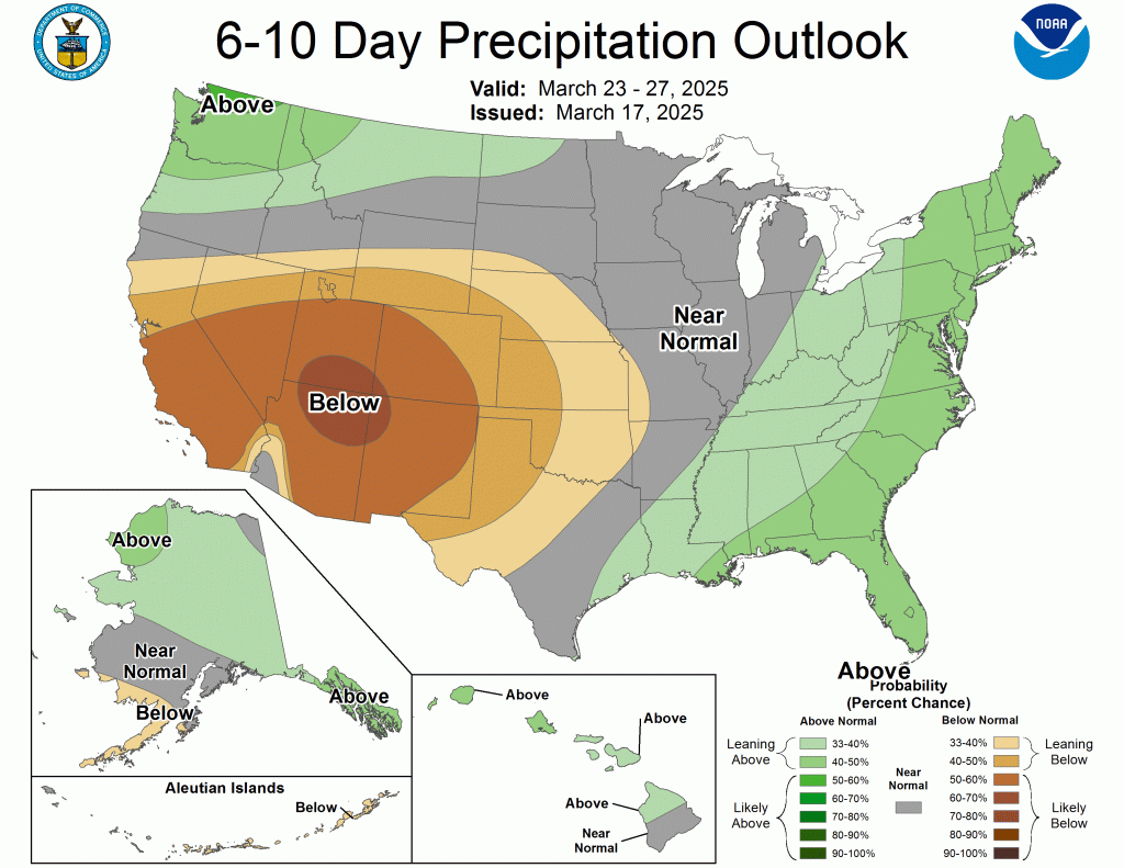
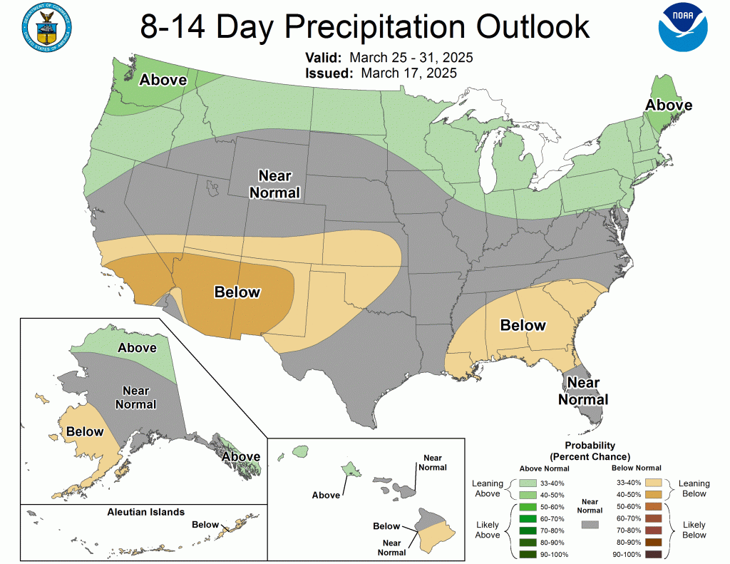
Enjoy the 60s the next two days, as they will be our last for a while. About two weeks ago, I posted about the weakening of the polar vortex and how it could impact us locally. We are finally starting to see it show up in our models.
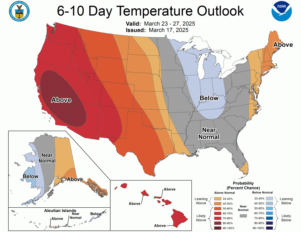

Our normal high is in the upper 40s this time of year, and we can expect to see highs a little below those values for the next week or two. It also looks like we will become a little more active yet again.
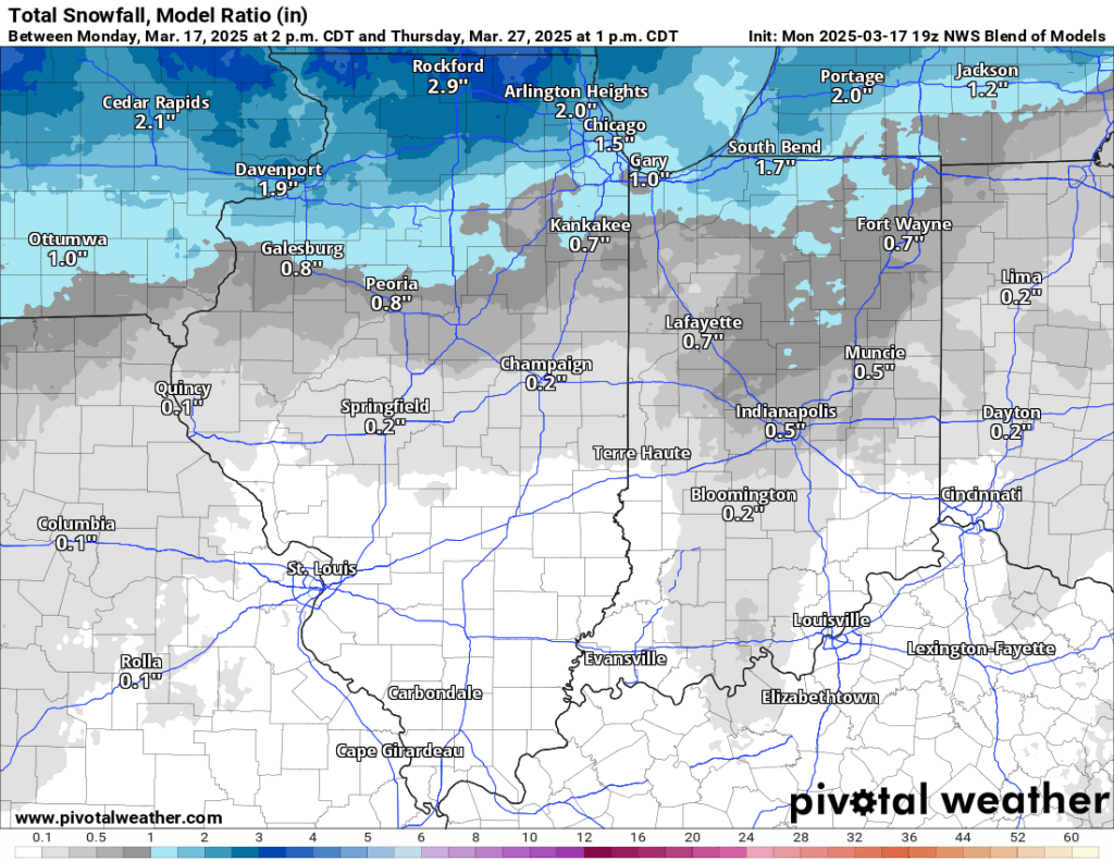
It will be very warm tomorrow and again Wednesday, but that will come at the cost of being windy again, too. A strong front will move through Wednesday PM and bring a chance for rain and thunderstorms. A few storms could be strong, but the timing of this round of storms will be similar to the last one—mainly after sunset. By Thursday, we will likely see more snow falling, but no accumulation is expected.
Today was St. Patrick’s Day, but at our latitude, it’s as close as we get to our vernal (spring) equinox. The sunrise this morning was at 7:51 AM, and the sunset was at 7:53 PM. It was good for 12 hours and 2 minutes of daylight and almost the same amount of “night.” We are adding 2 minutes and 48 seconds of daylight each day. This is the most daylight we add each day all year, and we will continue adding that much time to each day until March 27, when we drop to adding 1 second less per day until we stop adding daylight in June.
Enjoy the brief continuation of our spring preview while it lasts.
–pw

Leave a comment