Many in and around Goshen saw severe wind gusts this afternoon. Storms began firing around noon near St. Louis and developed rapidly as they sped northeastward toward Michiana.
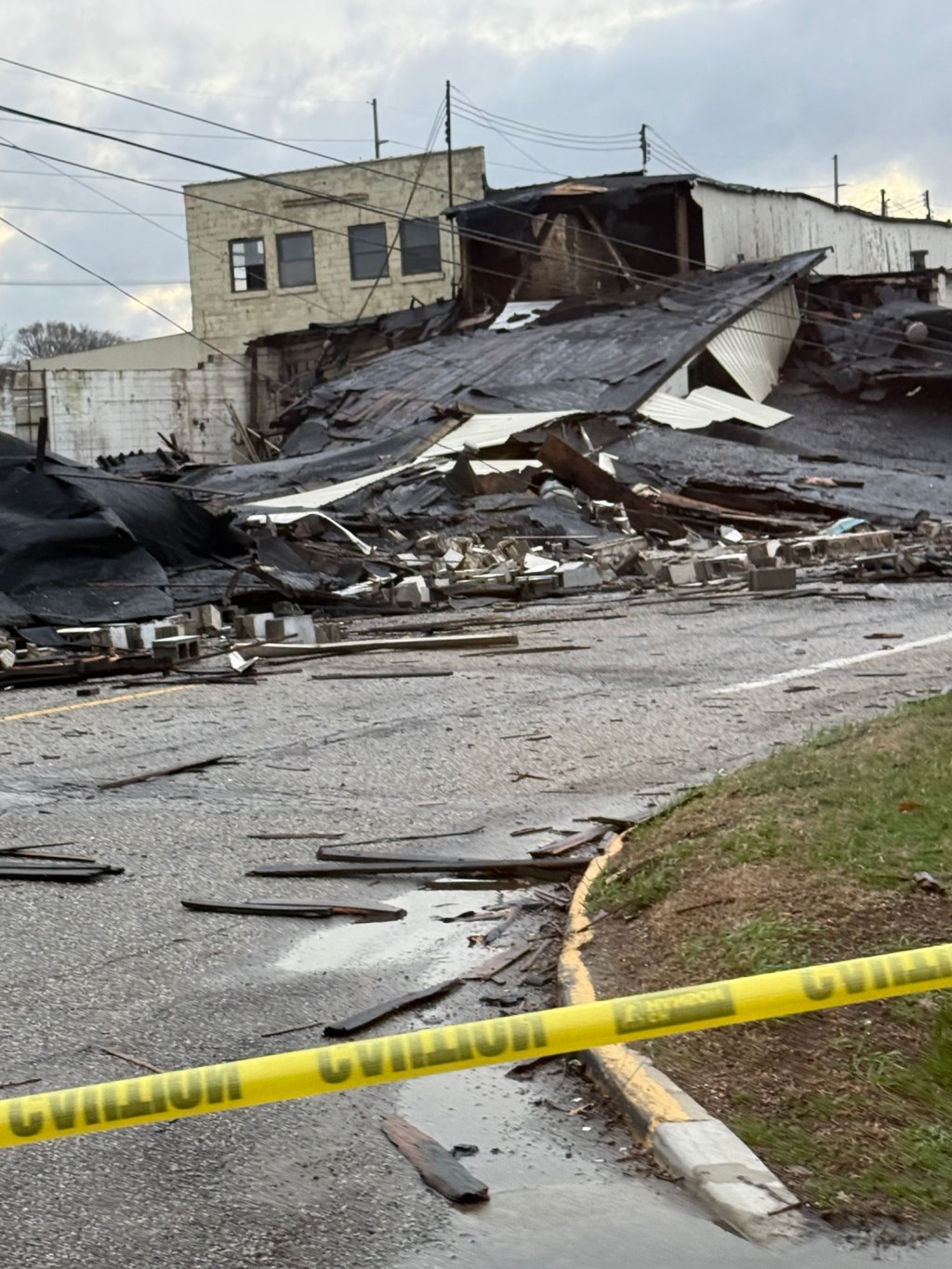
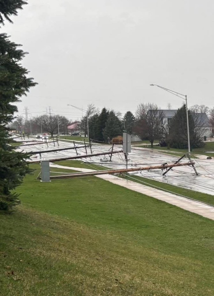
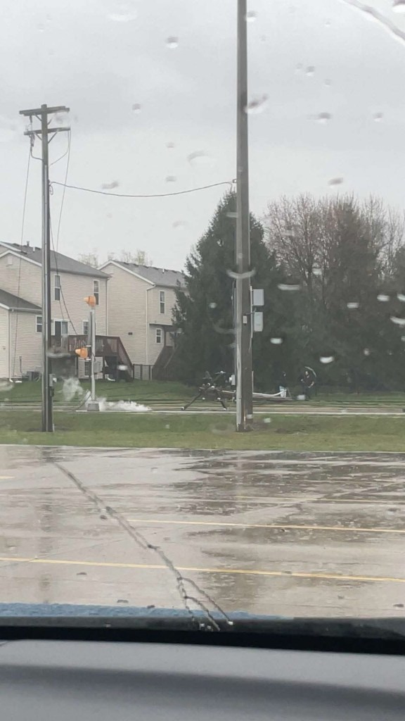
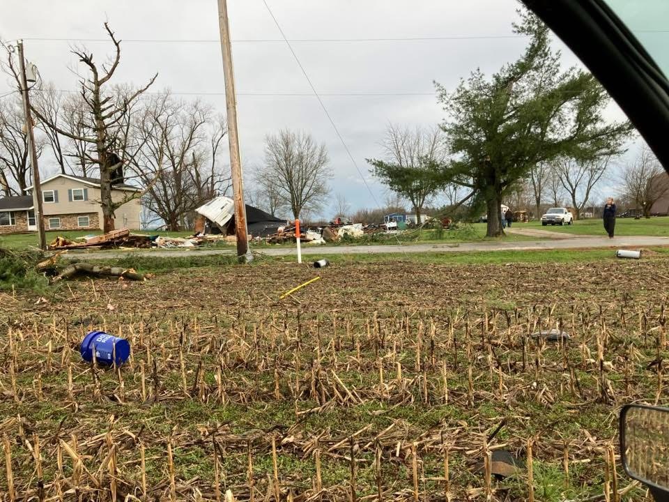
We didn’t see much in the way of supercell development as storms quickly congealed into a single line called a squall line, bow echo, or a QLCS (quasi-linear convective system). These QLCSs often produce widespread strong to severe wind gusts. They continually bubble out in the direction they are traveling and can twist and turn like eddies in a river. This is where you can get the other culprit often found in a strong QLCS—a QLCS tornado. These tornados are generally short-lived, on the weaker end of the enhanced Fujita scale, and frequently impossible to see as they are usually rain-wrapped. We had widespread wind damage, and I wouldn’t be surprised to hear about a few QLCS tornados across northern Indiana.
By 2:15 PM, the Storm Prediction Center (SPC) had issued a Tornado Watch for northern Indiana.
Just before 4:00 PM, storms crossed the Illinois/Indiana state line and became severe. There were also a few embedded tornado warnings. Skies began to partially clear, allowing temperatures to soar into the mid-70s.
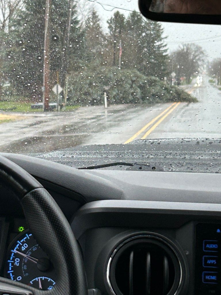
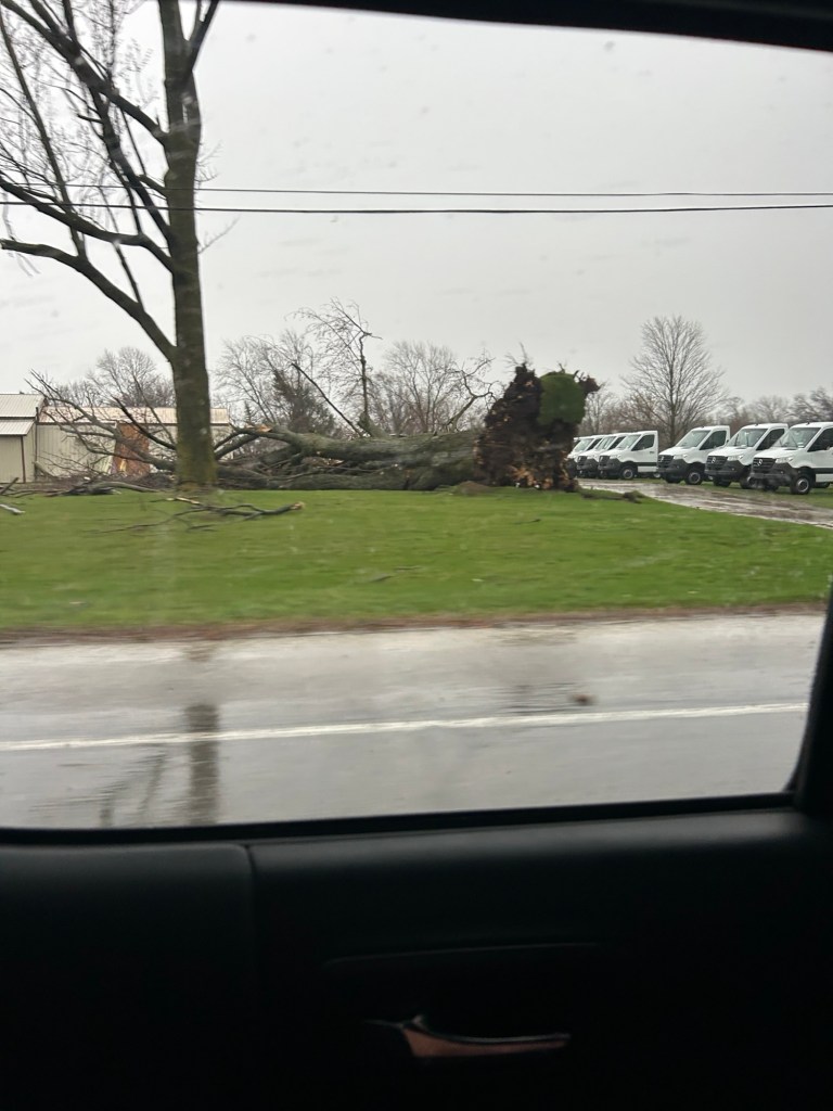
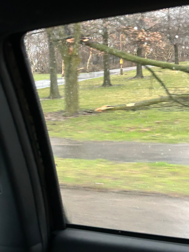
By 4:45 PM, Goshen was under a severe thunderstorm warning. Light rain began shortly after, and at approximately 4:58 PM, I noted pea-sized hail and a 60.8 mph wind gust. We were lucky in my immediate area, as there were no trees down. Many others were not so fortunate, as trees were down all over Goshen. Damage could be seen in Mishawaka and South Bend, too.


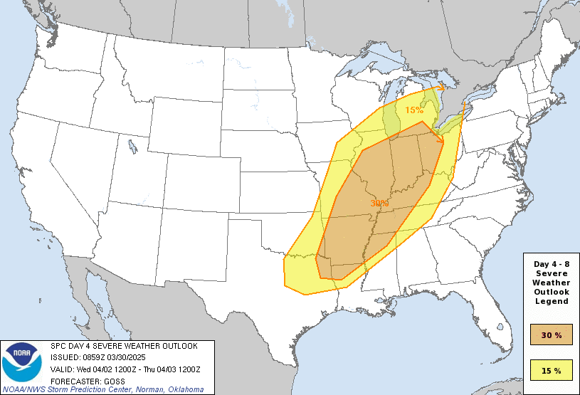
This event was well advertised and was mentioned in Goshen Weather forecasts four days ago. Damage was a little more intense and widespread than expected. It looks like a similar setup is in store for Wednesday.

Leave a comment