
Just when we were getting used to the idea of thunderstorms instead of snowstorms, Mother Nature starts working on her curveball. We will trend colder next week, just in time for spring break and likely just cold enough for heavy, wet snow.
The Climate Prediction Center outlook clearly shows colder air moving in next week and beyond. Don’t put that winter coat away just yet.

A return to sub-freezing temperatures is not just possible, it is expected. Wind chills may dip into the single digits. With all the cold air and an active pattern, you can count on some snow being possible. Currently, models are showing a potential snow storm in the Midwest/Great Lakes area late next week. Totals over 6” are likely—see below.
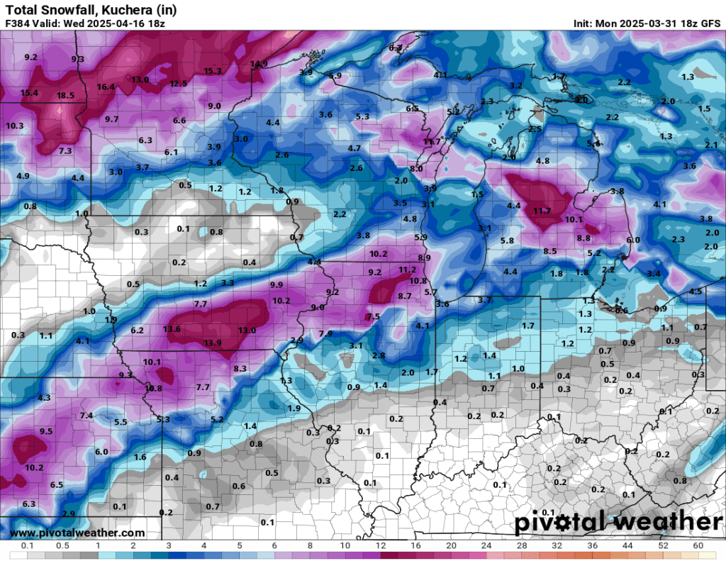
This forecast model could very well be under-done as we will have plenty of moisture and cold air to work with late next week. Better gas up the snow blower one last time!


April fools!
Just kidding!
But it really does look cooler next week and we could see a few snowflakes.

Leave a comment