
The general theme for next week is cool and dry. Average high temperatures range from 74°F to 77°F, with lows in the mid-50s. The current consensus among models is that we will be 5-10° below each of those for most of next week, with a warming trend closer to normal by the end of the week.
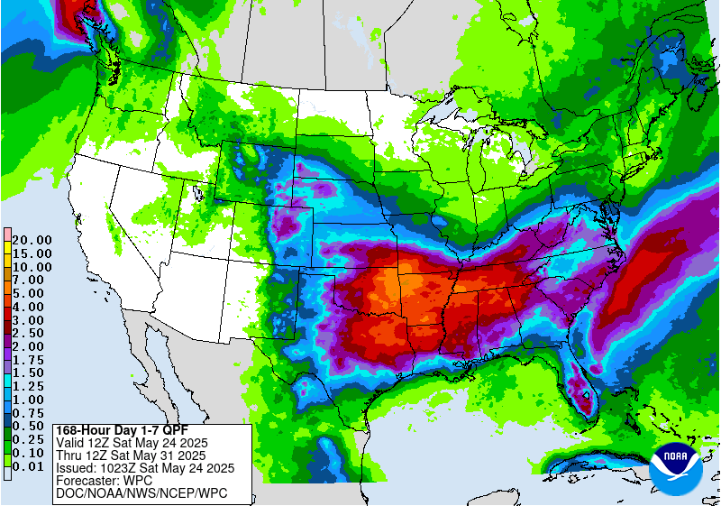
There are a few slight (20-30% coverage) chances for showers and thunderstorms from Tuesday through the rest of the week, but don’t misinterpret that. It looks like we will see far more dry time than wet. The WPC 7-day precipitation outlook is showing meager rain totals around here.
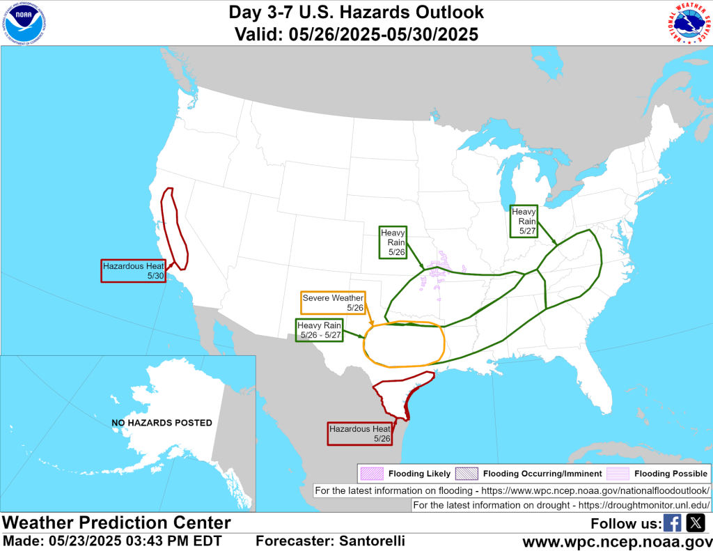
This is highlighted in the 3-7 hazards outlook as well.
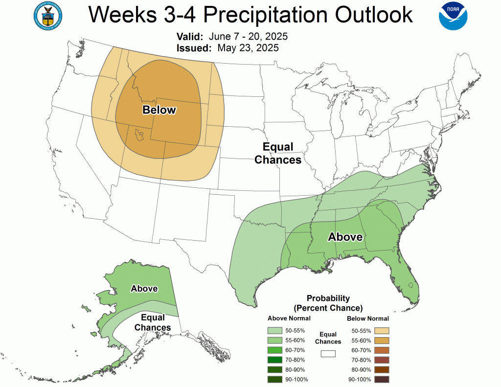
There don’t appear to be any extremes in temperature or precipitation in the next few weeks.

A mild early spring has fizzled into a cooler stretch that is finally wearing off. Again, I don’t see any major heat waves in the next week or two, but it does look like we will return to that 75-80°F climatological normal range over the next week or so.
-pw

Leave a comment