7/11 PM Update: The SPC has trimmed Goshen from the slight risk area tonight. There is a Tornado Watch to our west, but I expect this to expire and not be expanded east to include us. We will be lucky to see much of any shower/storm activity through tomorrow morning, let alone severe weather.
-pw
Original Post: The Storm Prediction Center has maintained a slight risk of severe weather for a large portion of the Great Lakes tomorrow.
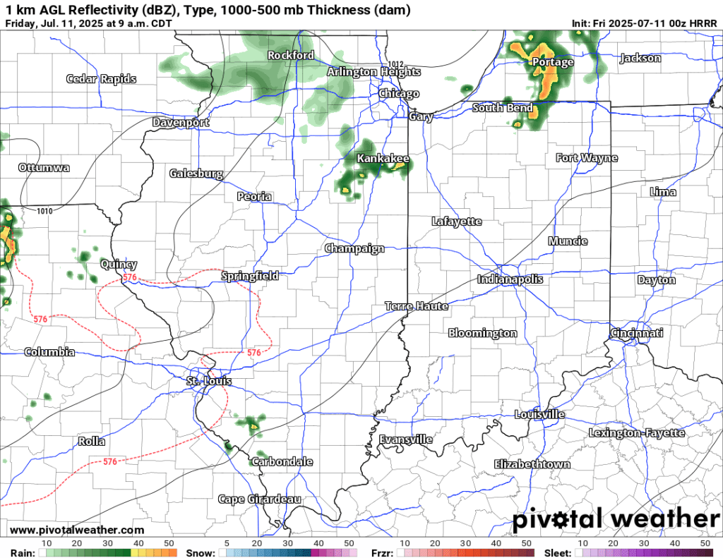
There is one key difference with this most recent threat of thunderstorms, some of which could be on the stronger side: the timing. Our best chance for severe weather could be from roughly 6 AM to 10 AM.
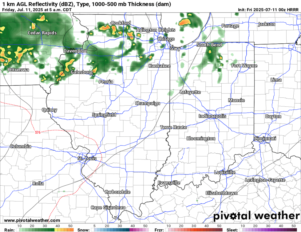
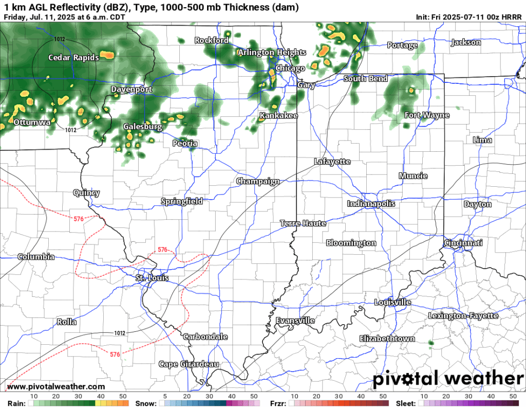
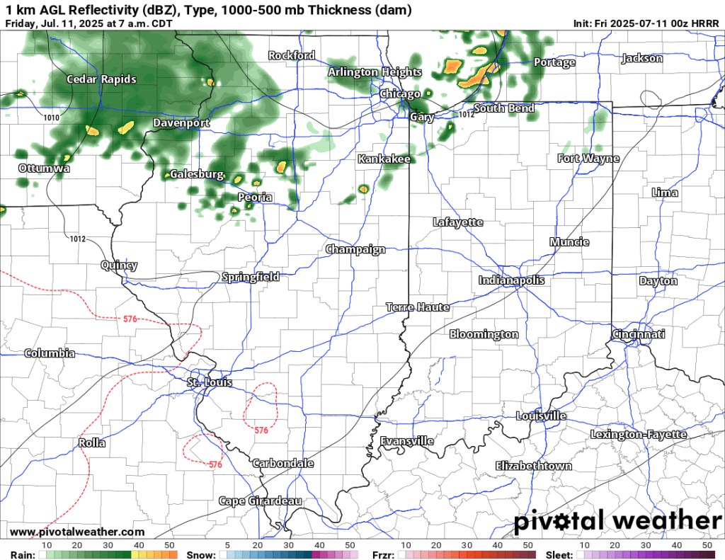

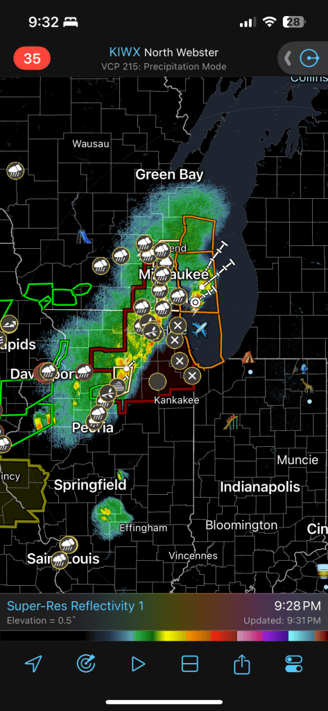
Storms are currently pushing through Nebraska and Iowa , prompting plenty of watches and warnings. However, there are questions about how much of this will make it to us early tomorrow morning and what state it will be in.
A few storms are also about to cross the Indiana/Illinois state line. These are mostly expected to die out before they reach us, but we may get lucky and pick up some rain later tonight.
Once what’s left of the rain and storms pushes through tomorrow night, we may see isolated to widely scattered, non-severe showers and storms throughout the day (not everyone will see rain). As sunset approaches, a line of potentially severe storms should come from the west.
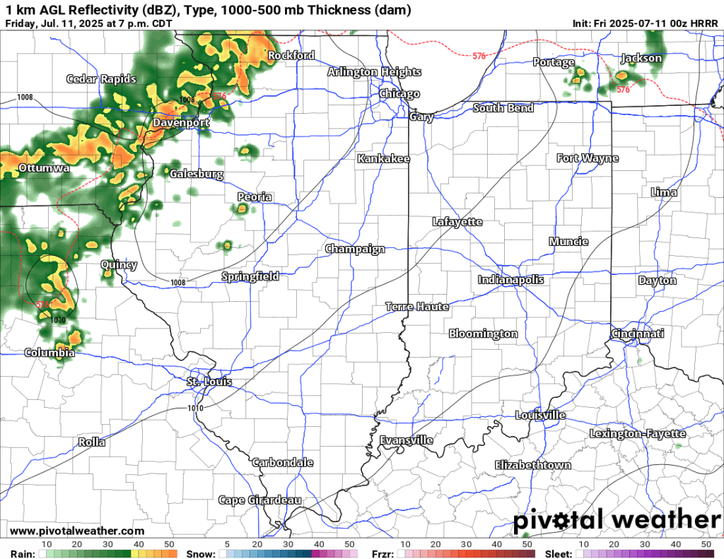
However, this activity will likely wane as it approaches. This energy will pick up again on Saturday, and while we are on the edge of another area of slight risk, I suspect storms will develop here or even slightly east and gain strength as they move away. The latest SPC outlook supports this hypothesis.
So to summarize, there are some big storms well to our west (NE and IA) right now, and that energy could bring some strong to severe storms in the first half of the day tomorrow. An area of showers and storms closer (along the IN/IL border) is expected to die out as it moves east, but could bring some rain and even a storm or two. More showers and storms are possible on Saturday, but right now it appears that the severe weather potential will stay just to our east and north.
-pw

Leave a comment