Outside of some patchy mist and fog tomorrow morning, the only potentially concerning weather on the horizon is the potential for some ice Thursday night and Friday morning.
There isn’t a lot of snow left, otherwise we might be talking about “snow-eater” fog as warm air advects in over the next 36 hours or so.
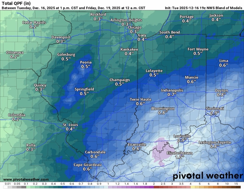
Any snow that’s left will be significant when the rain arrives late Wednesday night or early Thursday morning because it could add to puddles and minor ponding due to drains being blocked. Not much rain is expected, but any snowmelt left behind could lead to some problems.
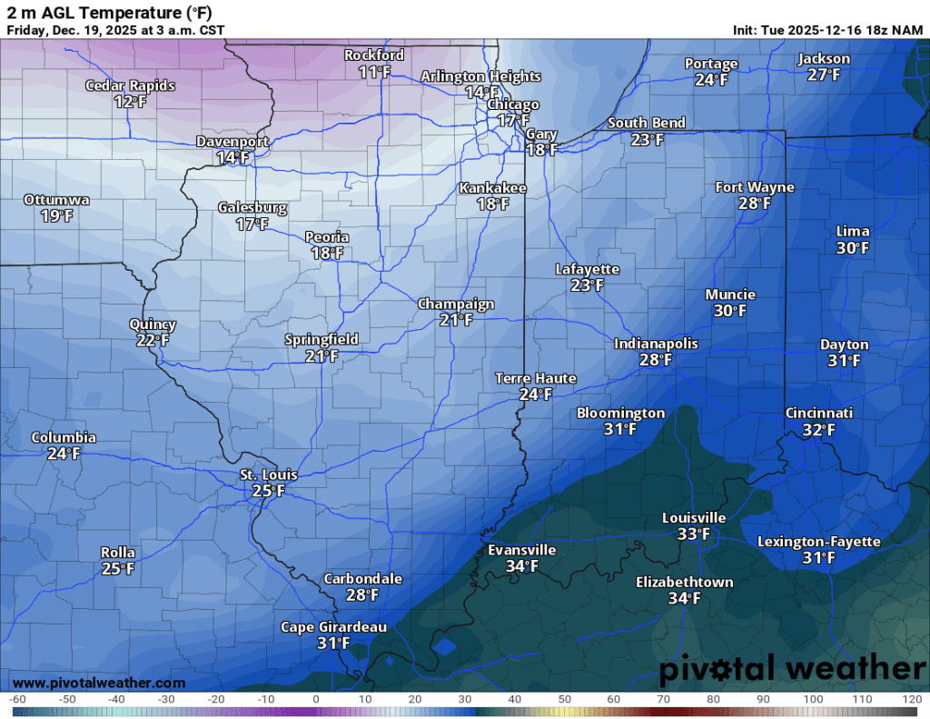
Temperatures are expected to quickly fall below freezing Thursday night so any standing water will likely freeze up if left untreated. Some minor travel issues are possible overnight Thursday and Friday morning.

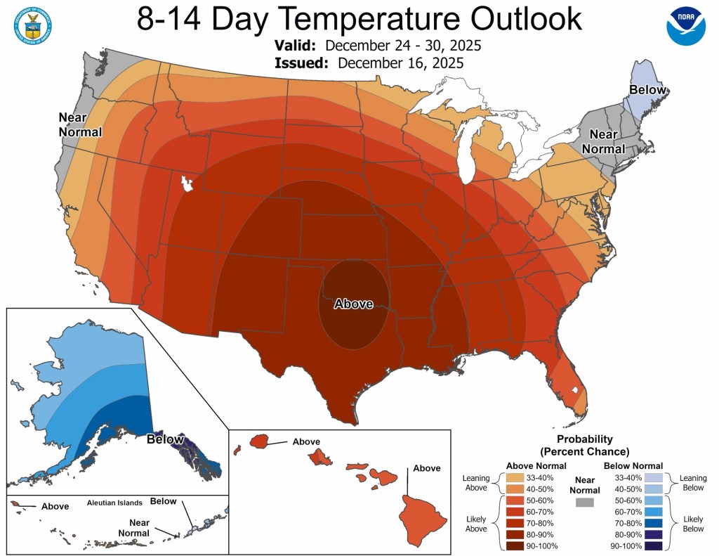
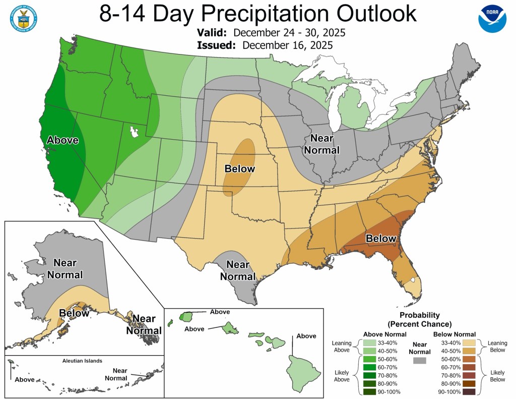
Things look normal to slightly above normal over the next two weeks in terms of temperatures, while precipitation will likely be a little below normal. Translation: things could get rather dreary the next week or two if the permacloud sets in— and these conditions could make a good recipe for it.
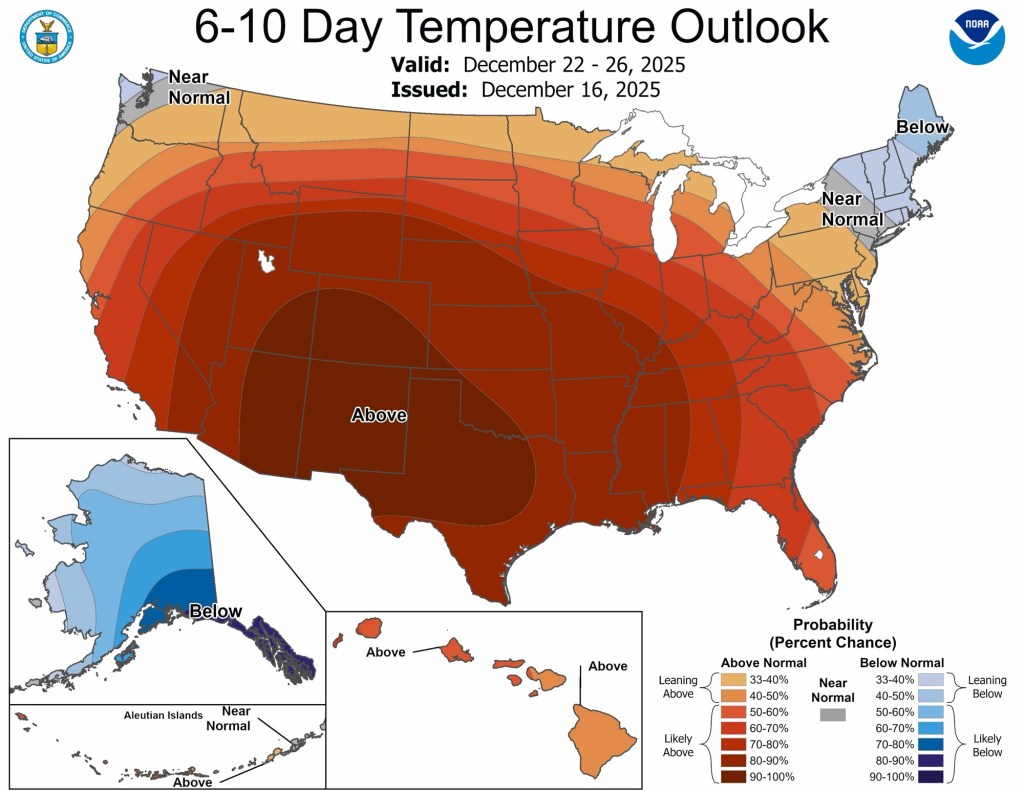

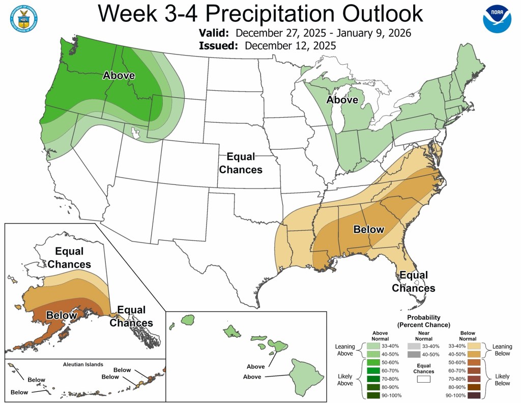
There are still signs of another pattern flip back to below normal with a more active storm track returning by the middle of January, if not a little sooner. Fingers crossed!


Leave a comment