
I hope you were able to enjoy the warm air yesterday. My car said it was 54°F yesterday afternoon, but my backyard thermometer peaked at 49.8°F. Either way, it was great!
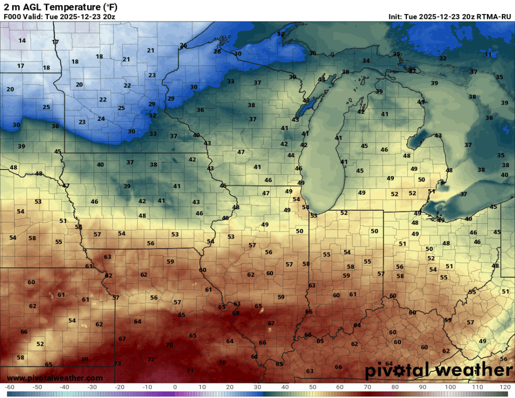
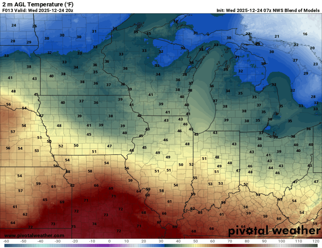
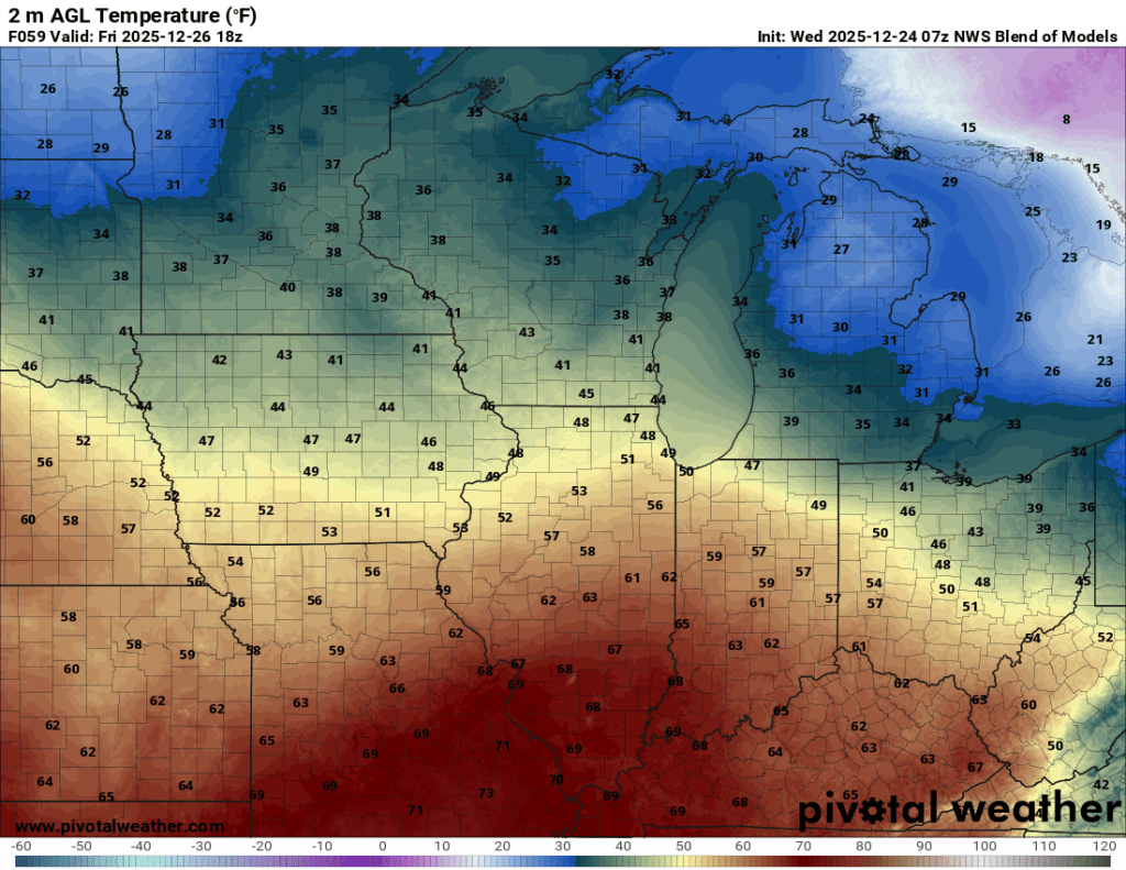
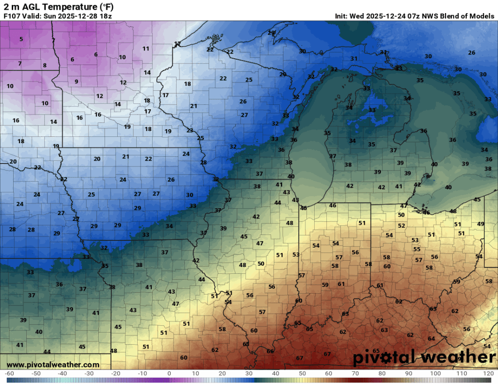
Models have backed off on the truly warm air locally for the rest of the week, though 40°F is still nearly 10° above normal for this time of year. Upper 50s to low 60s are still expected around Indianapolis through this weekend, but up here, we’ll settle around 45°F for highs through the weekend.
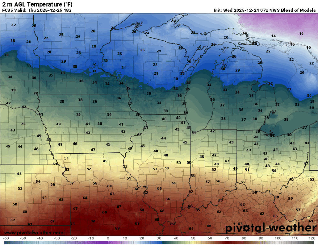

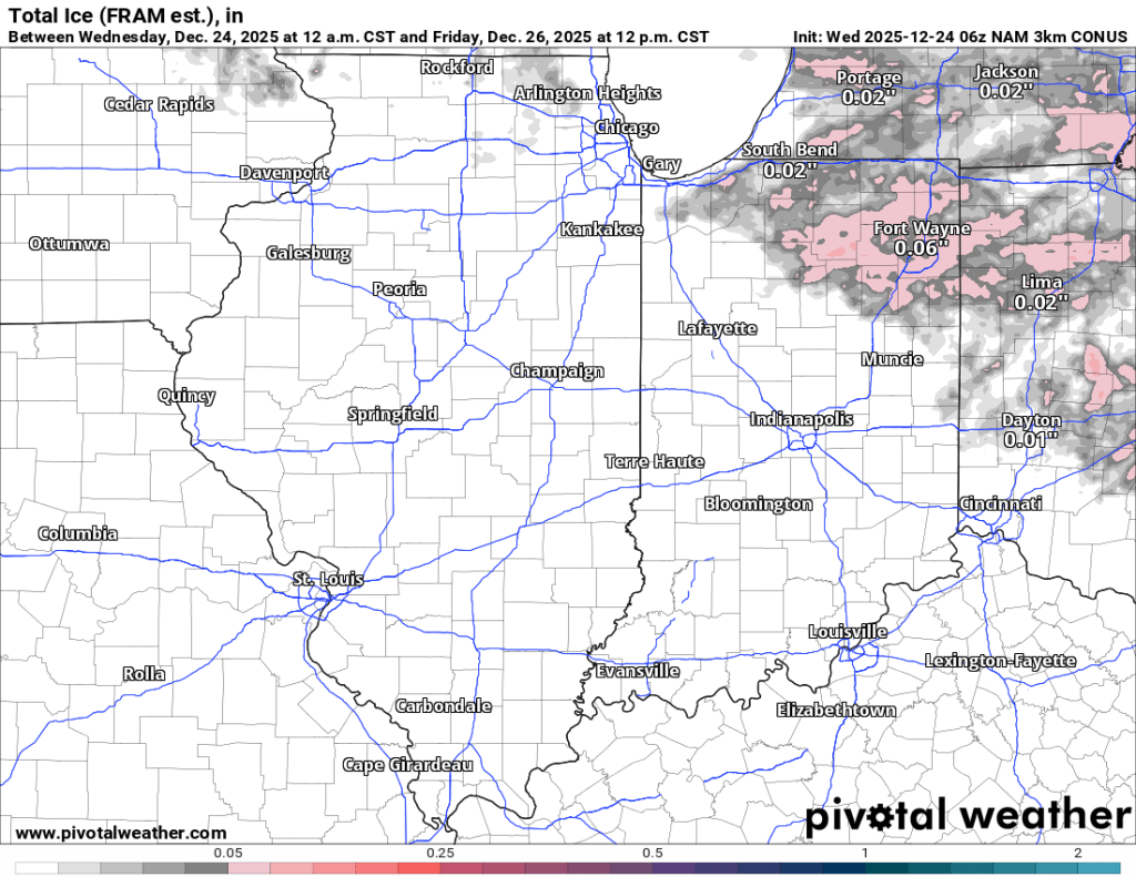
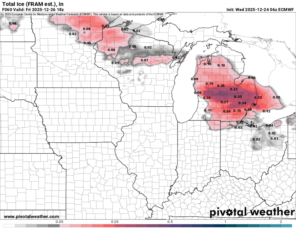
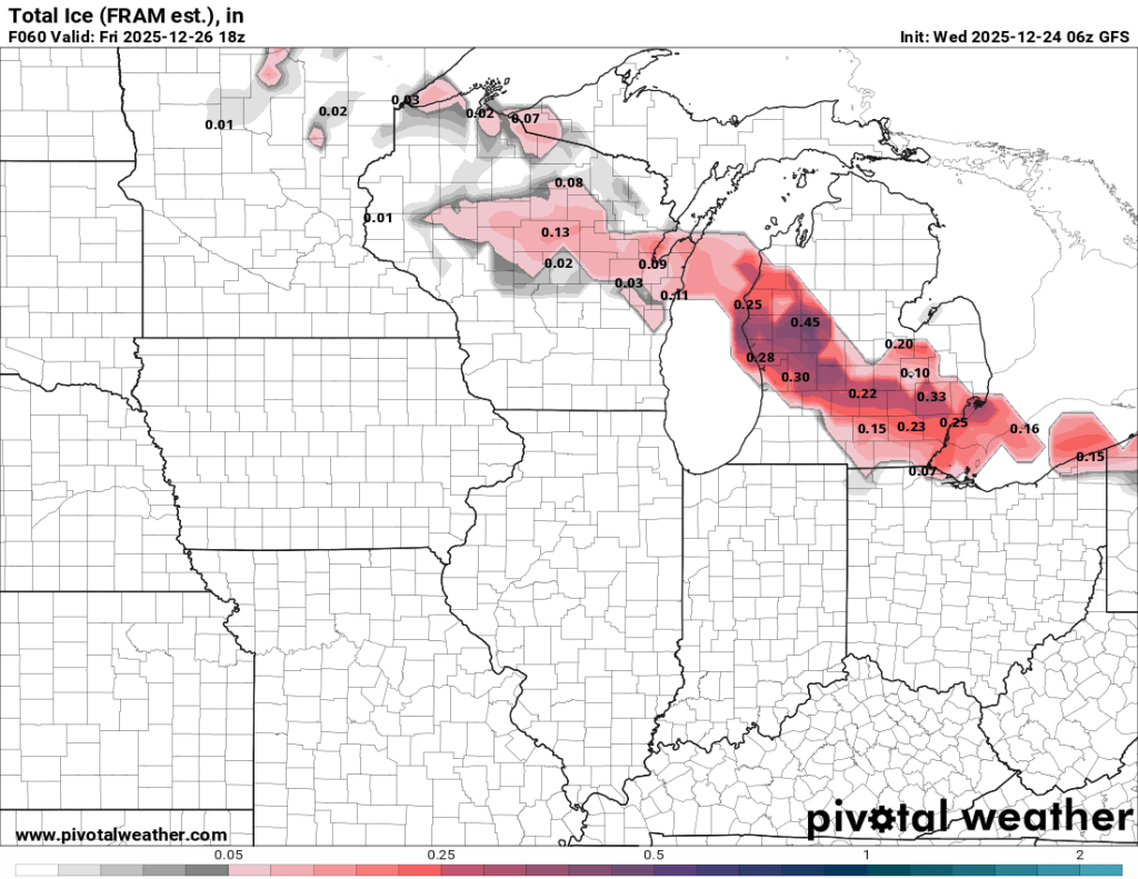
We will see occasional chances for rain, and temperatures will dip close to freezing each morning. This could lead to some patchy freezing drizzle or rain Friday morning—especially to our east and northeast. Areas along and east of US31 and north of US30 have a slight chance of freezing drizzle Friday morning. Areas north of the toll road and east of 69 have the best opportunity for slight ice accumulation. Even the most impacted areas should see 0.10” or less, but any ice accumulation could cause travel issues. You can see this morning’s model outputs for freezing rain below. The euro and GFS are known for overdoing freezing rain forecasts, while CAMs like the NAM are more reliable at this range.
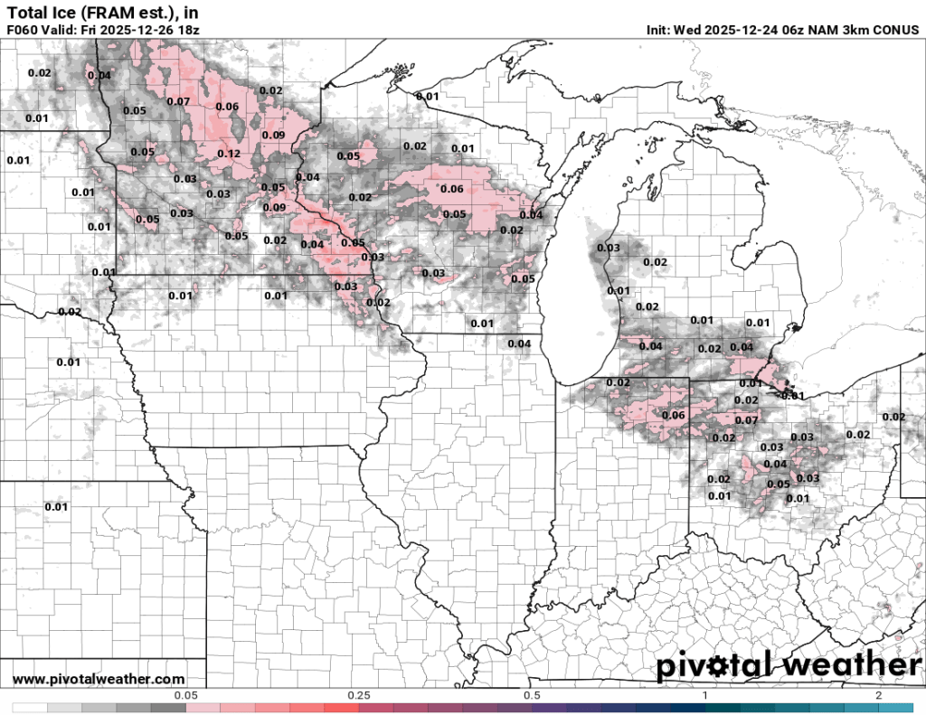
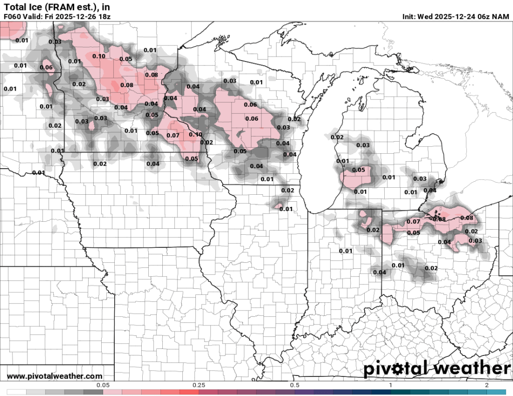
I think there is pretty high bust potential with this forecast, so stay tuned for updates.
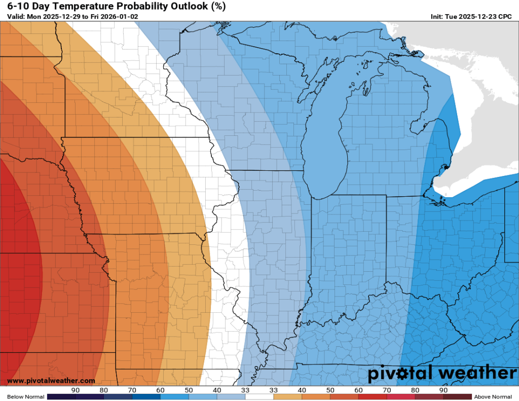
Looking ahead into next week and the end of 2025, things (finally) look colder, though the dry weather will likely continue for the most part.
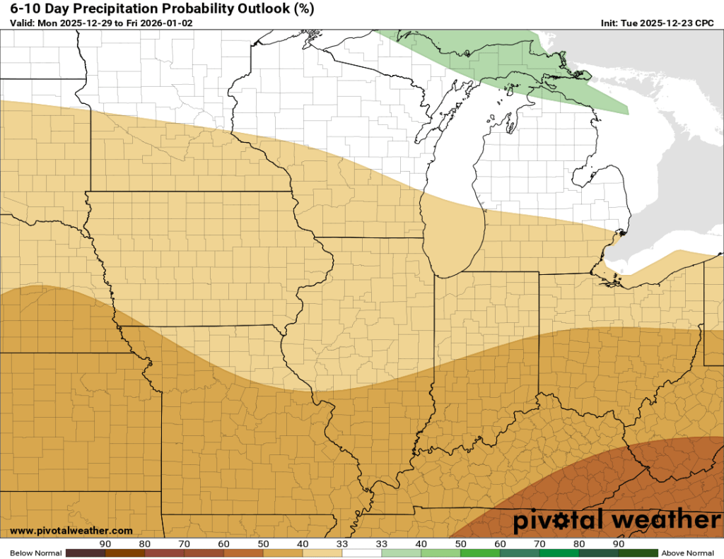
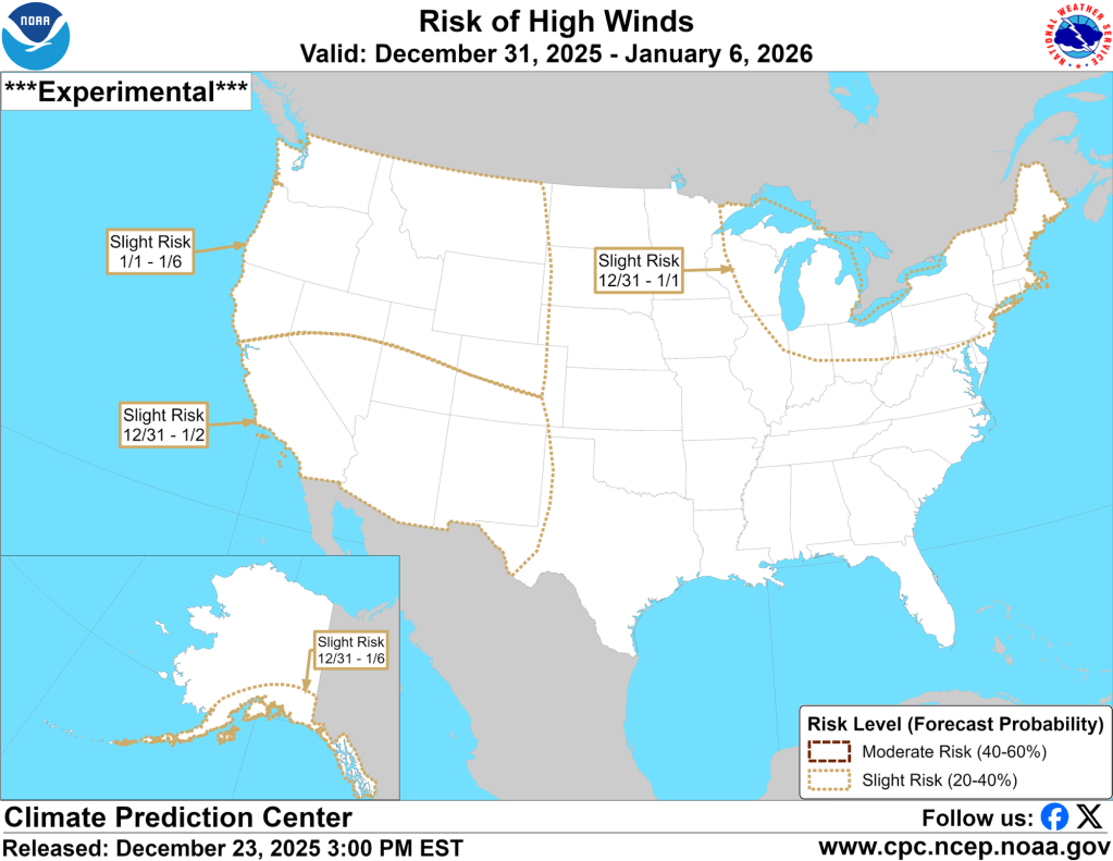
The atmospheric river will continue to divert much of the available moisture to the West Coast over the next week or two. The only “hazard” on the horizon locally may be some gusty winds late next week.
There’s a chance that wind could fire up the lake effect snow machine, but it’s way too early to tell. I still think we will get back into a more active, wintry pattern after, or potentially near, the end of the first week of January. The euro is showing signs of life in terms of winter weather at this range, and it has been consistently so for several days now. The GFS is staying warm for now.
Christmas Day Climatology
Just for fun, because I am an enormous weather nerd, here’s a look at some Goshen Christmas Day climatology.
Coldest: -18°F (1924)
Warmest: 64°F (1982)
Avg High Since 1914: 33.5°F
Avg High last 20 years: 34.8°F
Avg High last 5 years: 38.0°F
Max snow accumulation: 6.1” (1915)
Max snow depth: 11” (1925)
Avg snow depth since 1914: 1.4”
Avg snow depth last 20 yrs: 1.2”
Avg snow depth last 5 yrs: 0.2”
You can see a clear pattern of increasingly warm Christmas Days with less and less snowfall. There are outliers, of course, but the trend is clear overall. Tomorrow will add another tally to the above-normal temperatures and drop the average snow depth a little more.
Merry Christmas and belated Happy Hanukkah, friends!
-pw

Leave a comment