
While certain aspects of northern Indiana winter have been here all season (that’s you, permacloud and wind), one thing has been missing for weeks now: snow.
Looking back at the data from 2025, not only are we falling behind on snow again, but we ended the calendar year of 2025 with 36.5” of liquid equivalent precipitation (rain + melted snow). Normal values over the last 25 years are around 40”, putting us 3.5” behind normal for where we are now. The drought we were experiencing, plus another winter with very little snow, could cause issues should the spring be drier than usual, too. This is actually becoming a serious problem out west, namely along the Colorado River. The region surrounding it and those upstream are behind on snow, which means they’ll be behind on snow melt running into the river, which means the millions of people relying on that water may not have it.
Nothing quite like that here, but we are off to a slow start in 2026 in the precipitation department, and that doesn’t look like it will be changing much over the next seven days. Just beyond that range, perhaps, but there isn’t much in the forecast for the next week.
You’ve heard me say many times that I think the pattern shifts in the middle of January. If you’re really paying attention, messaging lately has been “in the second half of January” because that more active storm track keeps getting pushed back, and it’s officially getting me nervous that it’s not coming at all. I haven’t given up just yet, but as of this writing, it’s not looking good.
Forecast confidence past a few days wanes exponentially with each additional day, but for what it’s worth, there are signs of winter returning around January 18-20th. The AI models feature single-digit temperatures, and the blended model shows a return to accumulating snow. Again, that forecast is out in meteorological “lala land” around 10 days away, and I don’t have much confidence in it at this time.
So, where are we at with snow this winter? Well, since November, Goshen has seen 39.5” of snow. Essentially none of that has come in January, but December 2025 ended about 4.5” above normal with 12.5”, and we saw the snowiest November on record with 27” in 2025. For reference, the average snowfall in November since 1914 in Goshen is 3.5”, and the previous record was a mere 14” set in the infamous winter of 1977-1978. We are already an inch or so above the normal snowfall for the season (38”), but it doesn’t look like we’ll be adding to that total much over the next week.
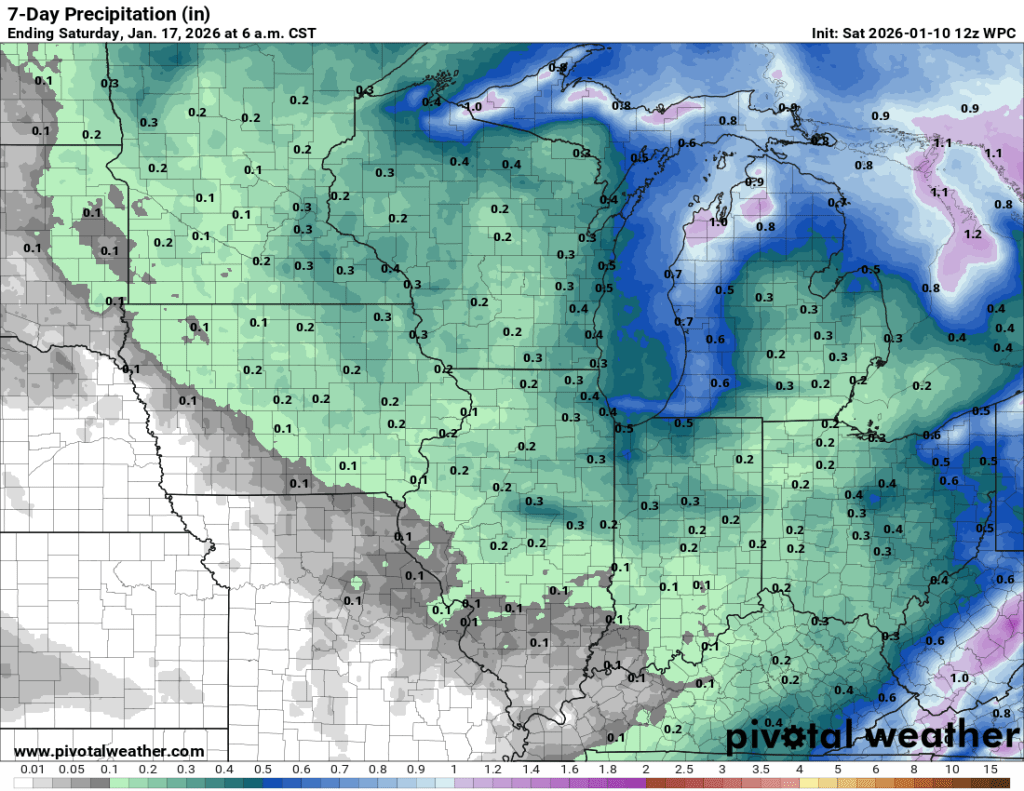
In this morning’s 7-day QPF, you can see there isn’t much precipitation expected. These numbers can be a little misleading if it’s cold enough for snow, because most snow-to-liquid ratios (SLRs) are at least 10:1, meaning 0.5” of rain would equal 5.0” of snow. So let’s take a look at the snow forecast for the next seven days.
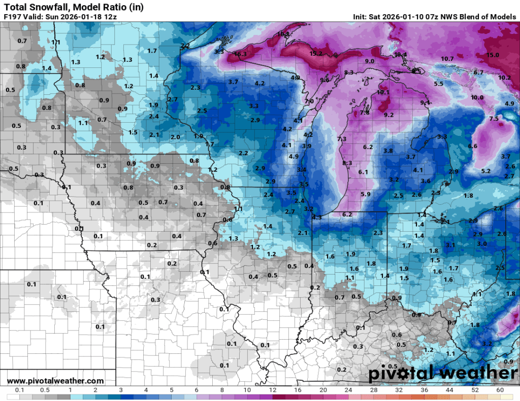
As you can see, there is some snow in the forecast, and the QPF and snow accumulation forecasts align well. As far as the snow goes, much of the snow in the model shown above occurs near the end of the forecast range, meaning confidence in the amounts shown is exceedingly low.
Highs should average out over the next week to normal or just slightly above. Normal high temperatures for mid-January in Goshen are right around 32°F with lows just shy of 20°F—plenty cold enough for snow. By mid-February, those averages rise to 36°F and 21°F, respectively. And by the end of February, average high temperatures crack 40°F. Highs over the next seven days will range from the mid-20s late week to the mid-40s on Tuesday. I don’t see any extremes over the next week, but things could turn much colder just beyond this range. There is widespread model agreement on this.
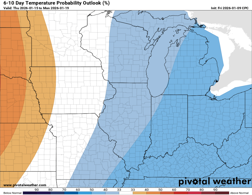
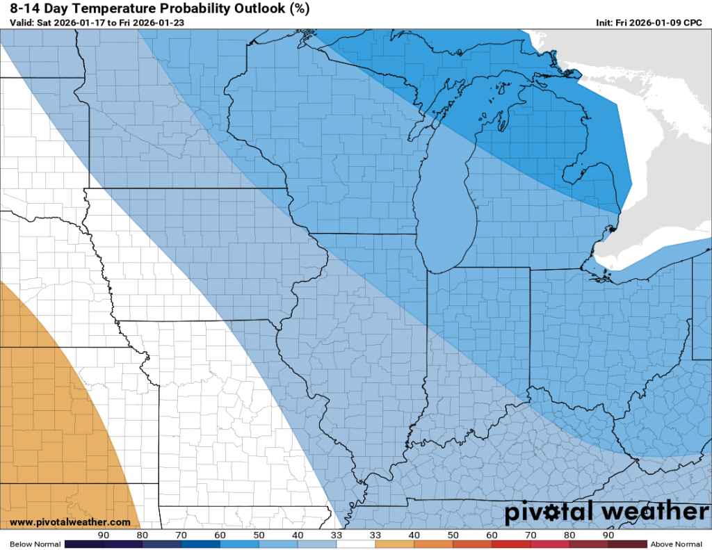
One caveat is that, even though these models agree on a good chance of below-normal temperatures just beyond the next seven days, they have backed off on the intensity. This fits well with my “bungee cord” hypothesis, which allows for continued flips between above-normal and below-normal temperatures, but with each being less extreme over time.
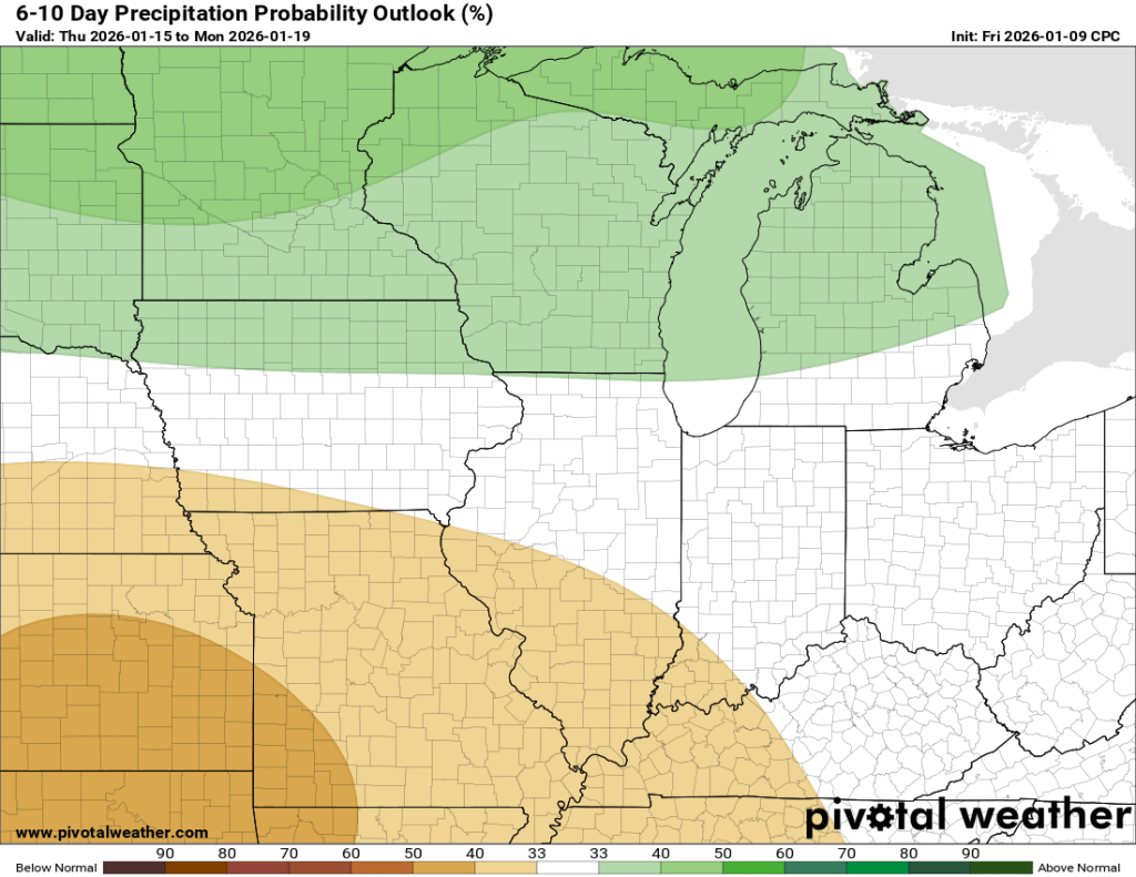
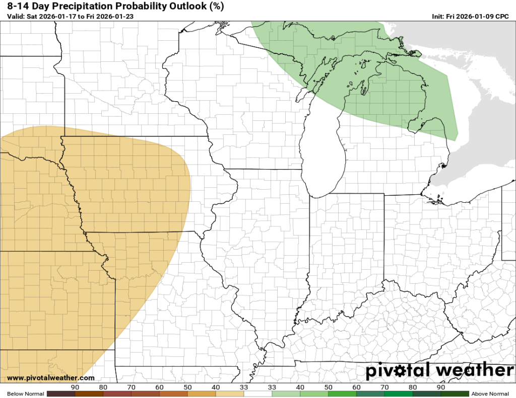
Here are the same outlooks for precipitation. Neither of which is all that compelling.
Well, there you have it. Next week looks relatively quiet and shouldn’t be too warm or too cold. There are signs that things will become a little colder beyond next week, but there aren’t particularly strong signs of our pattern becoming more active just yet.
Winter is far from over, friends, don’t give up yet!
-pw

Leave a comment