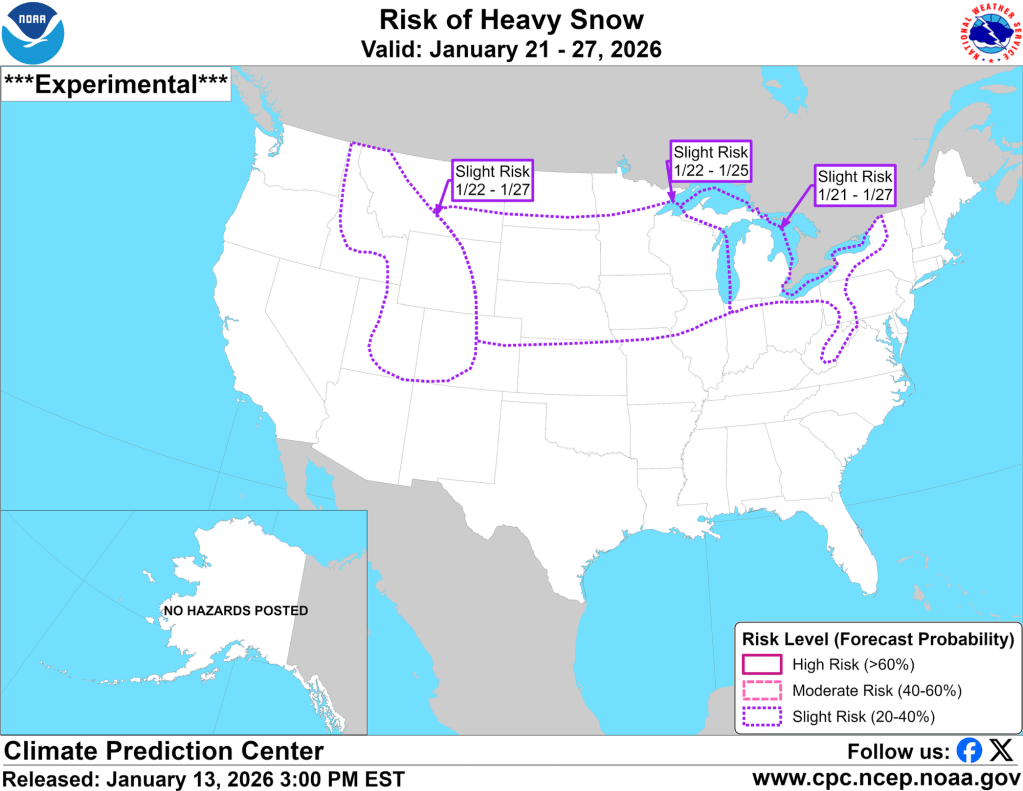
Lake-effect snow begins tomorrow to our west, and the cold air that’s prompting it will stick around for at least the next week or two. As a result, we will have several chances to accumulate snow during that time, including a potentially legitimate snowstorm later next week—still out in meteorological lala land, but showing up consistently nonetheless.
You can see a parade of systems and lake effect impacting our region over the next week to ten days. I will remind anyone reading this that anything you see beyond about 3 days gets increasingly less confident with each passing day. You can see the date in the top left corner.
With so much activity, we are guaranteed to see some snow locally. Right now, it doesn’t look like too much will fall all at once here in Goshen, but we’re in for light snows during most of the next several days that could add up to a decent amount. When analyzing the video below, don’t put too much stock in actual values—those almost never pan out. However, wherever you see the purples, oranges, and even yellows, those are the area most likely to see accumulating (ahem, plowable) snow.
I’m really excited for the runs of the model above beginning tomorrow because they’ll start to pick up our next potentially significant storm. It’s showing up regularly in the Euro and GFS, but they place an axis of very heavy snow in very different places (one well to our north, and one to our south). The current spread is particularly intriguing to me because as the storm gets closer, these two models often tend to comprise with some blend of each other. I’ll give a decent lean to the Euro, which tends to perform better, and has the snow well to our north. However, if they both acquiesce into each other, we’d be in a prime position. I’ll be honest, that’s wishful thinking, and the snow will almost certainly pass to our north, but it’s still far enough out that it isn’t (entirely) crazy to think we could cash in.
Regardless, winter is about to come back with a vengeance. I hope you enjoyed the bonus sunshine and warmth this afternoon. It looks much colder and much more active beginning tomorrow and stretching into the last week of January.
-pw

Leave a comment