-
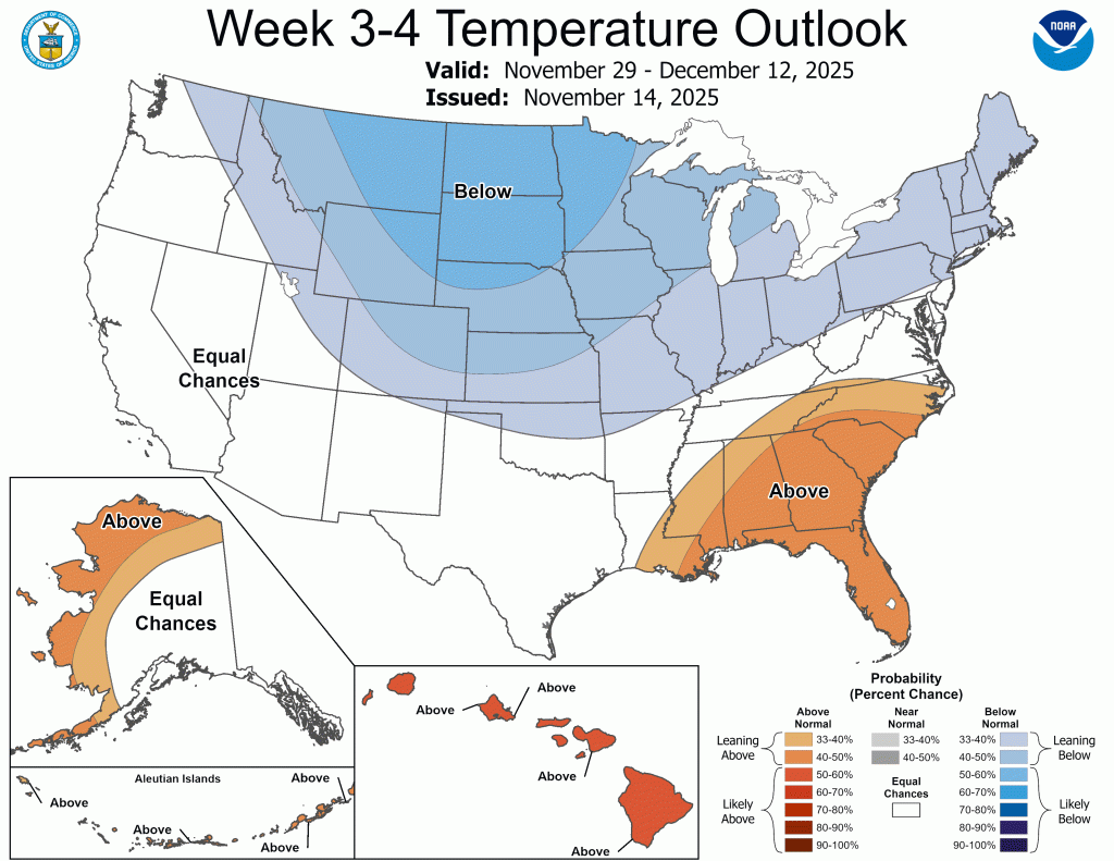
Pattern Shift Looming
We had our first significant November snow in 5 years earlier this week. Most in Goshen ended up with 3-5”—in line with our rather conservative forecast. Most of this fell on grassy and elevated surfaces, and the system snow that… Continue reading
-
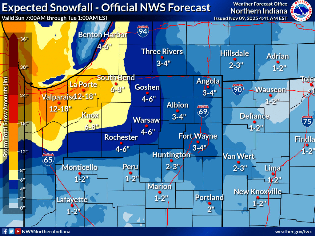
Snow Expected to Pick Up Again
Update 5 (Monday AM, 11/10/25) It looks like we picked up another inch or two since 6 PM yesterday in my backyard, thanks mainly to that burst of snow between 7:30 and 8:00 PM. This has me right around 4”… Continue reading
-
First Blast of Winter?
Many have caught wind of a potential bout of wintry weather this weekend, especially those following GoshenWeather.com on Facebook. I just wanted to make a quick post about what is currently showing up in the models, and preface it by… Continue reading
-
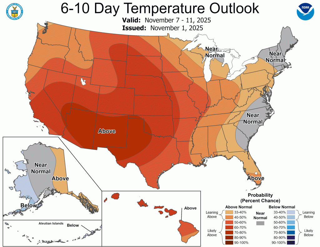
Pleasant, windy stretch ahead
It looks like we have entered another fairly long stretch of dry weather with seasonable temperatures (highs around 50/lows around 35), though it will be breezy at times as the week progresses. Temperatures A slight uptick in temperatures is in… Continue reading
-
Autumn Doldrums
We are officially in transition mode, also known as “fall” in northern Indiana. The last three (four?) months have been dominated by above normal temperatures and long stretches of sunny days. That’s probably why the last few dreary days have… Continue reading
-
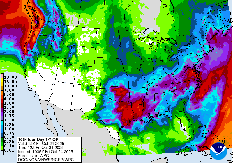
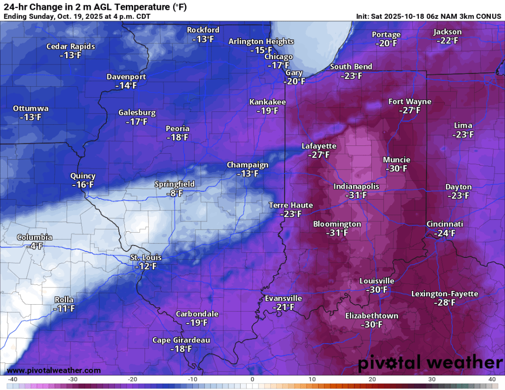
Rainy Weekend Unfolding…
Forecasts have decreased storm rainfall totals somewhat, but most can still expect 1-2 inches over the next 36 hours. A few spots could still see closer to 3”. Rain should be scattered and relatively light late this morning through early… Continue reading
-
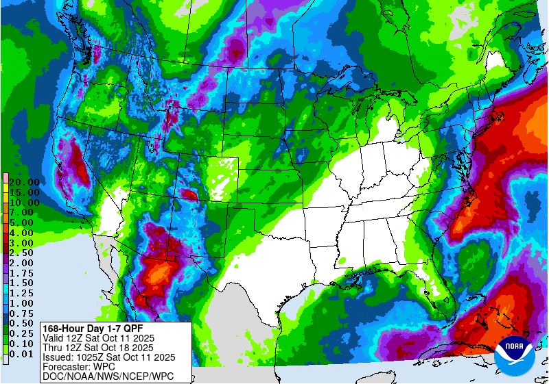
Fall Pattern (finally) Settling In
Overall, the weather pattern for the next 7+ days looks cooler than it has been, but very pleasant. Unfortunately, the exceedingly dry pattern also looks to continue. We get briefly warmer later this weekend and early next week with highs… Continue reading
-
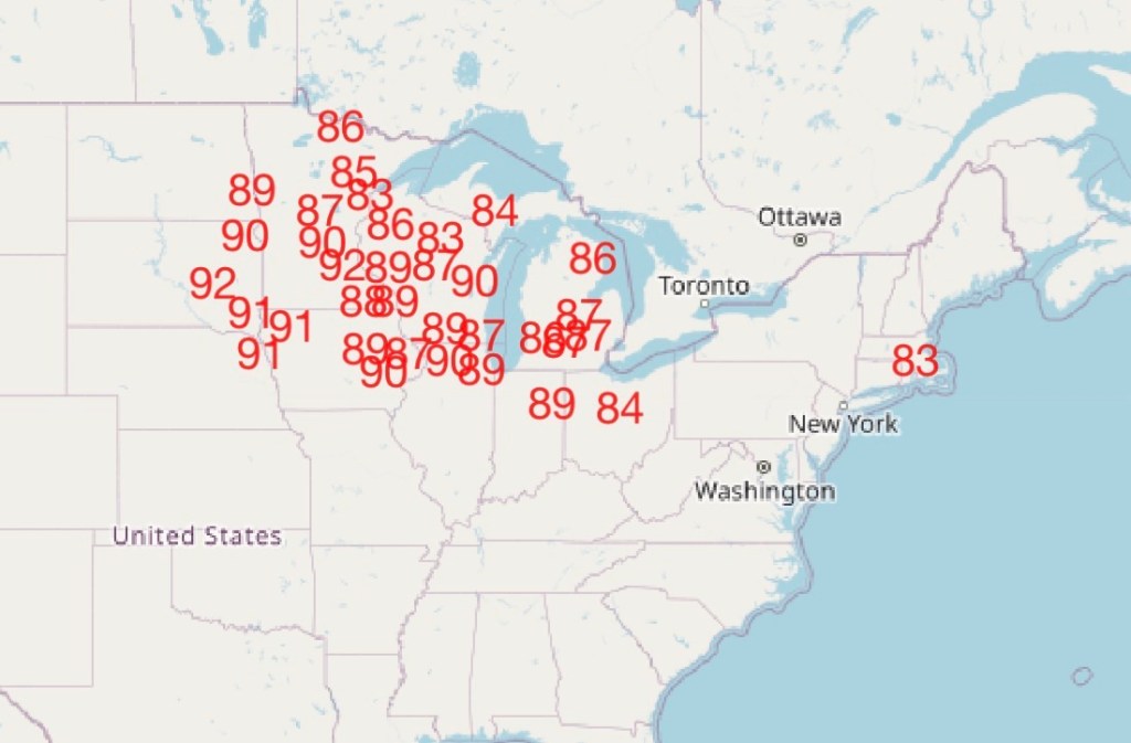
Changes Brewing
Historically warm in the short range, but much closer to normal (and much cooler) by next week. Continue reading
-
Omega Blocking (Boring) Pattern Continues…
The omega blocking pattern, which has resulted in yet another stretch of very pleasant and increasingly mild weather, will continue for at least the next 10 days. Temperatures will flirt with, but unlikely exceed, record highs at times over the… Continue reading
-
Short term: Cool & Rainy, Long Term: Heating up again?
One of the driest stretches of late August and September on record has come to an end with the rain over the last 24-48 hours. 0.79″ today and counting has us nearing 2.00″ in the last week. A low-pressure center… Continue reading


