Make a one-time donation
Make a monthly donation
Make a yearly donation
Choose an amount
Or enter a custom amount
Thank you so much for considering!
Your contribution is appreciated.
Your contribution is appreciated.
DonateDonate monthlyDonate yearly-
Quiet Week Ahead
After an eventful stretch of wintry weather, we will finally catch a break, as essentially zero meaningful precipitation is expected, and the only potential weather-related impact in the coming week is fog. Tuesday AM is the one to watch for… Continue reading
-
Big Storm to our South
Models have finally settled and are going through all of the phases we are used to seeing, including a decrease in totals across the board as the storm approaches. It will be exceptionally cold with this storm, so we may… Continue reading
-
Winter Revving Up
Lake-effect snow begins tomorrow to our west, and the cold air that’s prompting it will stick around for at least the next week or two. As a result, we will have several chances to accumulate snow during that time, including… Continue reading
-
Where is Winter?
While certain aspects of northern Indiana winter have been here all season (that’s you, permacloud and wind), one thing has been missing for weeks now: snow. Looking back at the data from 2025, not only are we falling behind on… Continue reading
-
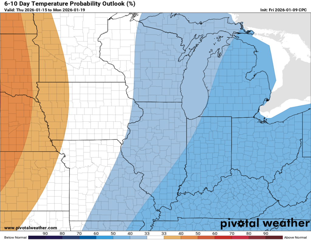
Tranquil, for the most part
Once our clipper system moves through today, things look pretty tame until perhaps the middle of next week when our next potential system may arrive. Temperatures Overall, temperatures over the next week or so look normal to slightly below. Toward… Continue reading
-
Minor Ice Potential Friday
I hope you were able to enjoy the warm air yesterday. My car said it was 54°F yesterday afternoon, but my backyard thermometer peaked at 49.8°F. Either way, it was great! Models have backed off on the truly warm air… Continue reading

-
Quiet for the most part
Outside of some patchy mist and fog tomorrow morning, the only potentially concerning weather on the horizon is the potential for some ice Thursday night and Friday morning. There isn’t a lot of snow left, otherwise we might be talking… Continue reading
-
Roller Coaster week ahead…
The second of the two clipper systems mentioned in the last post is nearly here, but will only impact areas well to our south. We might see an uptick in snow showers and flurries locally this afternoon, but no accumulation… Continue reading
-
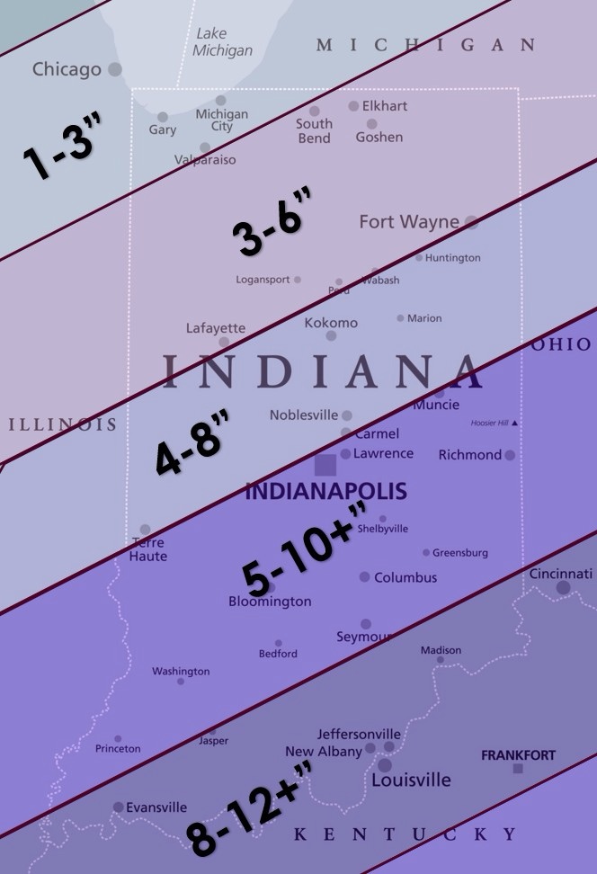
Monday Night Snow
Another round of light to moderate snow is expected overnight tonight into early tomorrow morning. The general consensus is 1-3”, though some frontogenesis (rapid, short-lived intensification) may occur and result in some isolated spots seeing 4”. It appears that if… Continue reading

-
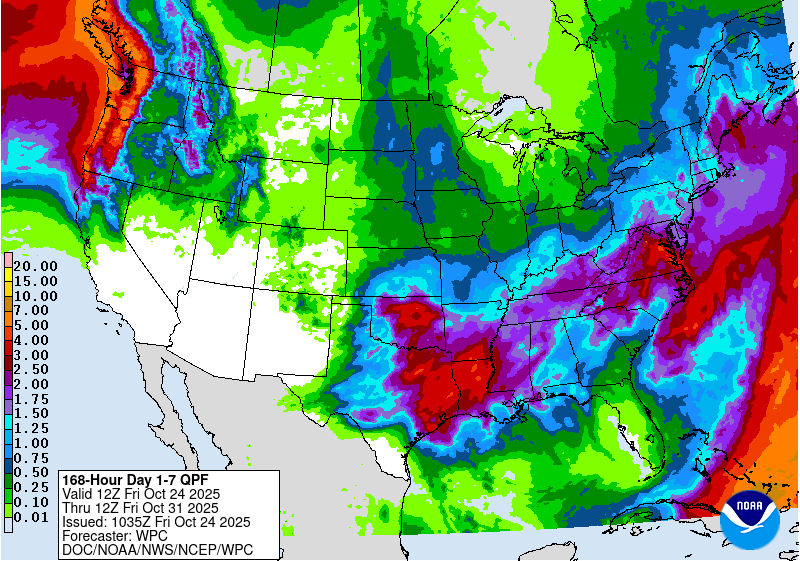
Autumn Doldrums
We are officially in transition mode, also known as “fall” in northern Indiana. The last three (four?) months have been dominated by above normal temperatures and long stretches of sunny days. That’s probably why the last few dreary days have… Continue reading