
Make a one-time donation
Make a monthly donation
Make a yearly donation
Choose an amount
Or enter a custom amount
Thank you so much for considering!
Your contribution is appreciated.
Your contribution is appreciated.
DonateDonate monthlyDonate yearly-
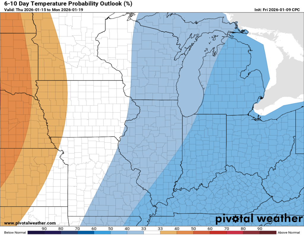
Where is Winter?
While certain aspects of northern Indiana winter have been here all season (that’s you, permacloud and wind), one thing has been missing for weeks now: snow. Looking back at the data from 2025, not only are we falling behind on… Continue reading
-
Tranquil, for the most part
Once our clipper system moves through today, things look pretty tame until perhaps the middle of next week when our next potential system may arrive. Temperatures Overall, temperatures over the next week or so look normal to slightly below. Toward… Continue reading
-
Huge Swings Coming…
Warning: Crazy weather (even for Indiana) ahead! Continue reading
-
Minor Ice Potential Friday
I hope you were able to enjoy the warm air yesterday. My car said it was 54°F yesterday afternoon, but my backyard thermometer peaked at 49.8°F. Either way, it was great! Models have backed off on the truly warm air… Continue reading

-
Winter Solstice
Days officially start getting longer again starting on Monday! Tomorrow marks our last sunset before 5:16 PM. By the end of the month, sunset is back to 5:23 PM. Sunrises start getting earlier January 6th. Tomorrow is technically our shortest… Continue reading
-
Roller Coaster week ahead…
The second of the two clipper systems mentioned in the last post is nearly here, but will only impact areas well to our south. We might see an uptick in snow showers and flurries locally this afternoon, but no accumulation… Continue reading
-
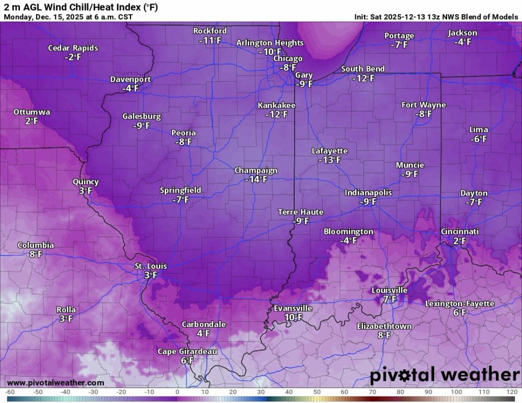
Coldest Air of the Year on the Way
We saw temperatures in the single digits and even set a record low (1.8°F) last week. Even colder air is expected to arrive over the next few days. The first shot of cold air comes tomorrow afternoon and evening, and… Continue reading
-
Arctic chill on the way…
We’ll see some very minor snow showers off and on over the next 36 hours or so, and then things turn sharply colder. Just how cold we get will depend entirely upon how much cloud cover we see. The latest… Continue reading
-
Monday Night Snow
Another round of light to moderate snow is expected overnight tonight into early tomorrow morning. The general consensus is 1-3”, though some frontogenesis (rapid, short-lived intensification) may occur and result in some isolated spots seeing 4”. It appears that if… Continue reading

-
Winter 2025/2026 Outlook
Check out the Winter 2025/2026 Outlook! Continue reading

