Make a one-time donation
Make a monthly donation
Make a yearly donation
Choose an amount
Or enter a custom amount
Thank you so much for considering!
Your contribution is appreciated.
Your contribution is appreciated.
-
(Another) Heat Wave Coming
Updated 8/9 I have added the latest temperature outlooks and they have gotten even warmer over the next two weeks. Another run at 100°F heat index values is possible next week. We could meet or exceed Heat Advisory criteria after… Continue reading

-
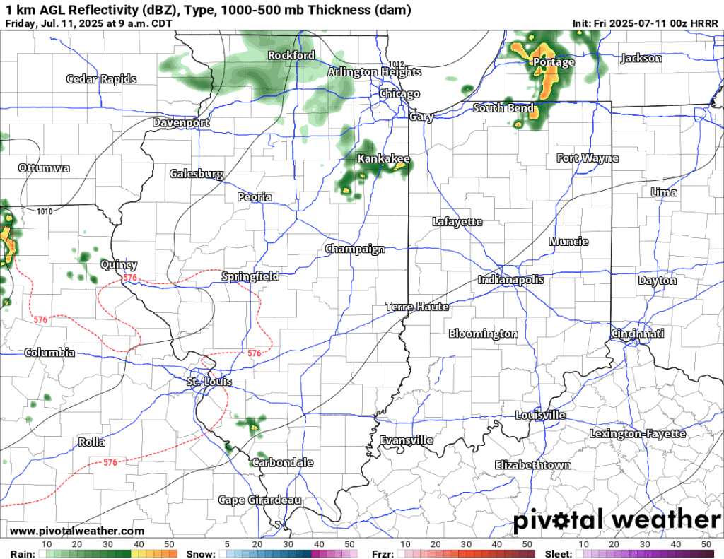
7/11 AM Storm Potential
7/11 PM Update: The SPC has trimmed Goshen from the slight risk area tonight. There is a Tornado Watch to our west, but I expect this to expire and not be expanded east to include us. We will be lucky… Continue reading
-
Potential Severe Weather Event Thursday
Thursday PM Update The latest update from the Storm Prediction Center (SPC) has expanded the area of enhanced risk further south, putting us in a more favorable zone for severe weather. High-risk areas for tornadoes, severe wind gusts, and severe… Continue reading

-
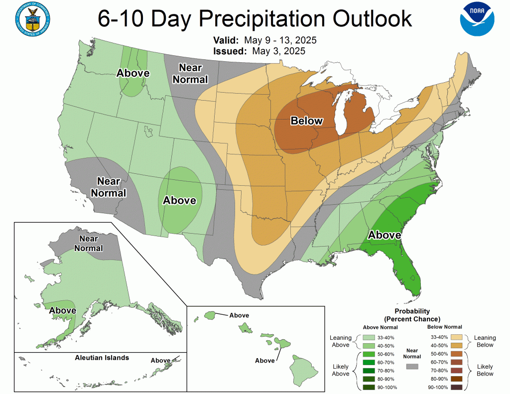
The week ahead
For the next few days, we are mired in a stubborn, gloomy, damp, and cool weather pattern. However, by mid-week, things will dry out and warm up. The bulk of the rain over the next week is expected to fall… Continue reading
-
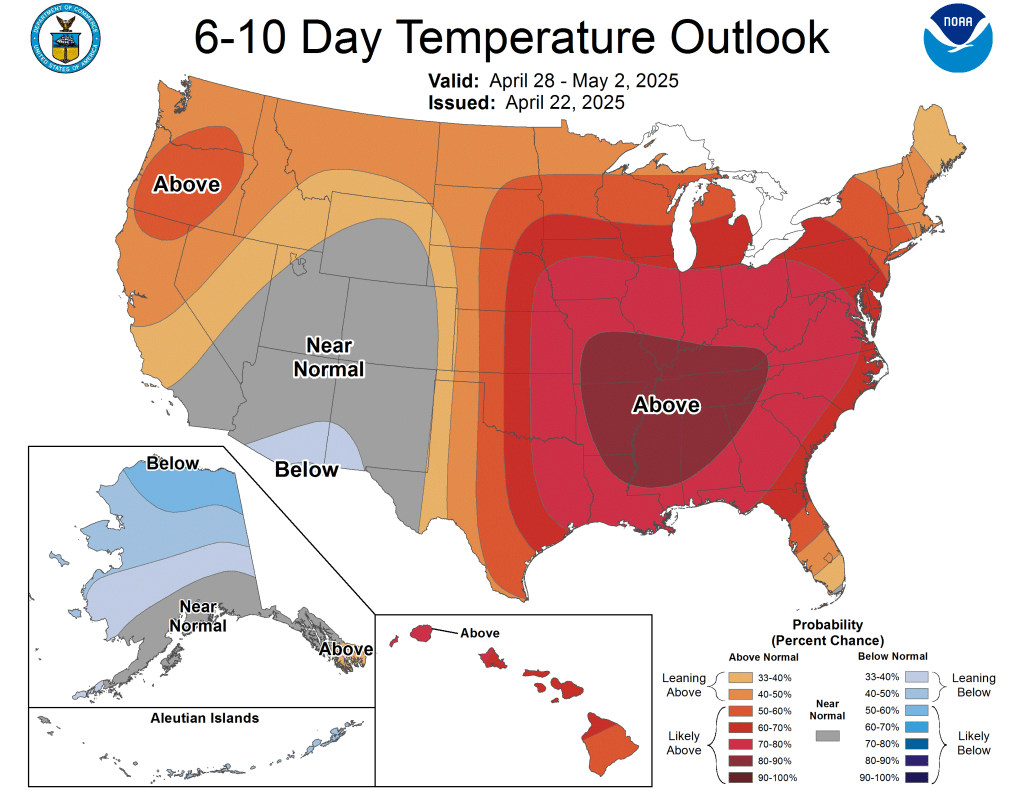
Warm trend to continue
While we will see some cool mornings, especially the next few that will flirt with the mid-30s, the theme overall remains warmer than average. The latest CPC outlooks show the warmth lasting well into May. Today will be the coolest… Continue reading
-
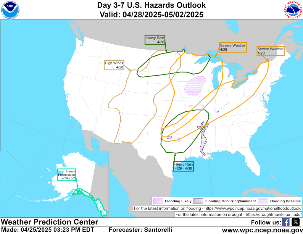
Summer-like pattern ahead
4/23/25 PM Update The SPC did include our area in the next day’s 15% severe weather risk outlook (current day seven) as expected and shown below. Tuesday will be a day to keep an eye on for heavy rain and… Continue reading